Yoakum County

Yoakum County, Texas

Yoakum County, Texas
Yoakum County is in western Texas on the southern High Plains, along the New Mexico border. The center of the county is at 32°10' north latitude and 102°50' west longitude. Plains, the county's seat of government, is fifty miles southwest of Lubbock. The area was named for Henderson King Yoakum. Yoakum County covers 800 square miles of nearly level terrain composed of sandy soils that support prairie grasses and some mesquite, yucca, shinnery oak, and sandsage. Elevations range from 3,400 to 3,900 feet above sea level. The area is drained by Sulphur Springs Draw, which runs through the center of the county. Temperatures vary from an average minimum of 24° F in January to an average maximum of 92° in July, and annual precipitation averages sixteen inches. The average growing season lasts 200 days. U.S. highways 380 and 82 (east-west) and State Highway 214 (north-south) serve the county.
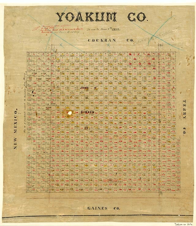
The area that is now Yoakum County was off the path of most early explorations, but Fray Juan de Salas crossed the region in 1632 on his second visit to the Jumano Indians. Comanche, Cheyenne, and Kiowa tribes made the land their own until buffalo hunters and bone gatherers ventured in after 1870. In 1876 the Texas legislature established Yoakum County from lands formerly assigned to the Bexar District, but in 1890 the United States census found only four people living in the area, and as late as 1900 the county had only twenty-six residents. The economy was entirely dominated by cattle ranching at that time. In 1900 the agricultural census listed only one ranch in the county; 6,200 cattle were reported, but no crops. Sale of state land after 1900 brought an increase in population. Early settlers traveled along Sulphur Springs Draw. In 1905 William Jackson Luna established a store and post office at Plains, and when Yoakum County was organized in 1907, Plains became the county seat. By 1910 there were 107 farms or ranches in the area, and the population had increased to 602. Almost 23,000 cattle were reported that year, but crop farming remained limited. About 3,000 acres were planted in sorghum, the county's biggest crop, and 1,700 acres were planted in corn; only two acres were planted in cotton. The county gained a newspaper in 1910 when Neil H. Bigger began publication of the Yoakum County News. Farmers suffered during the 1910s despite some brief attempts to grow wheat and the start of a flourmill at Bronco in 1915. By 1920 there were 109 ranches or farms in the area, but the population had fallen to 504. More than 21,000 cattle were reported that year, but crop cultivation remained limited; about 2,200 acres were planted in corn, 600 in sorghum, and 47 in cotton. During the 1920s the county experienced a minor expansion of crop farming, and cotton became the most important crop; by 1930 over 10,000 acres were devoted to cotton. There were 239 farms, and the population had increased to 1,263. Substantial economic development began after 1936, when oil was discovered. Intensive production quickly ensued, and in 1938 more than 1,239,000 barrels of crude were produced in the county. The boom centered at Denver City, founded in 1939, and by 1940 the county population had jumped to 5,345. Meanwhile, agriculture declined. By 1940 only 5,000 acres were planted in cotton, and the number of cattle had dropped 10 percent since 1930. Oil production intensified during the 1940s as Yoakum County became one of the leading oil-producing counties in the state. Almost 18,413,000 barrels were produced in 1944, for example, and almost 25,222,000 barrels in 1948. Production dropped to 19,027,000 barrels in 1956 and 13,330,000 barrels in 1963, then jumped to 77,632,000 barrels in 1974. In 1990 more than 32,858,000 barrels of crude were produced in Yoakum County, and by January 1, 1991, almost 1,664,036,000 barrels of oil had been taken from county lands since 1936.
John Leffler | © TSHA
Adapted from the official Handbook of Texas, a state encyclopedia developed by Texas State Historical Association (TSHA). It is an authoritative source of trusted historical records.
- ✅ Adoption Status:
Currently Exists
Yes
Place type
Yoakum County is classified as a County
Pronunciations
- YŌ k’m
Altitude Range
3400 ft – 3891 ft
Size
Land area does not include water surface area, whereas total area does
- Land Area: 799.7 mi²
- Total Area: 799.7 mi²
Temperature
January mean minimum:
25.7°F
July mean maximum:
91.7°F
Rainfall, 2019
18.2 inches
Population Count, 2019
8,713
Civilian Labor Count, 2019
3,912
Unemployment, 2019
14.7%
Property Values, 2019
$2,431,336,818 USD
Per-Capita Income, 2019
$41,112 USD
Retail Sales, 2019
$218,671,516 USD
Wages, 2019
$60,079,981 USD
County Map of Texas
Yoakum County
- Yoakum County
Places of Yoakum County
Proud to call Texas home?
Put your name on the town, county, or lake of your choice.
Search Places »