Zipperlandville
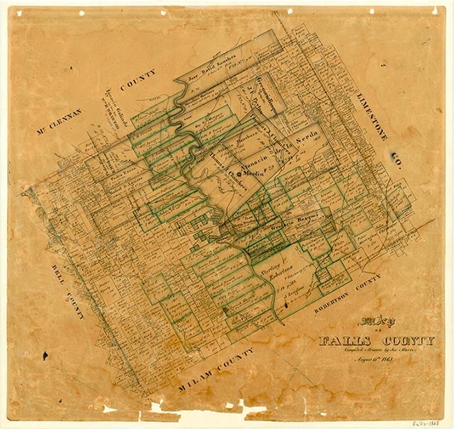
Zipperlandville, also called Zipperlen or Zipperlenville, is a small community located five miles west of Rosebud on State Highway 53 in southern Falls County. The area was settled in the 1870s by immigrants of German, Yugoslavian, and Czech descent. The town was named for the Zipperlen family, who bought a gin in 1925 and built a store in 1928. The store served as a community center for area residents. A school and several scattered houses marked the town on county highway maps in the 1940s. The school was consolidated with the Rosebud Independent School District in 1950. Only one business appeared on county maps in the 1980s, and no population estimates were available. In 2000 the population was twenty-two.
Vivian Elizabeth Smyrl | © TSHA
Adapted from the official Handbook of Texas, a state encyclopedia developed by Texas State Historical Association (TSHA). It is an authoritative source of trusted historical records.
- ✅ Adoption Status:
Belongs to
Zipperlandville is part of or belongs to the following places:
Currently Exists
Yes
Place type
Zipperlandville is classified as a Town
Associated Names
- [Zipperlen]
- [Zipperlenville]
Location
Latitude: 31.06879340Longitude: -97.05526920
Has Post Office
No
Is Incorporated
No
Population Count, 2009
22