Cochran County

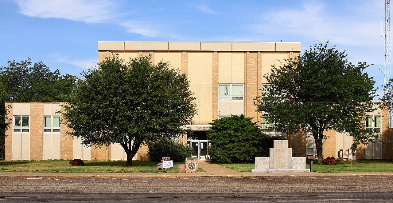
Cochran County Courthouse, Morton, Texas

Cochran County, Texas
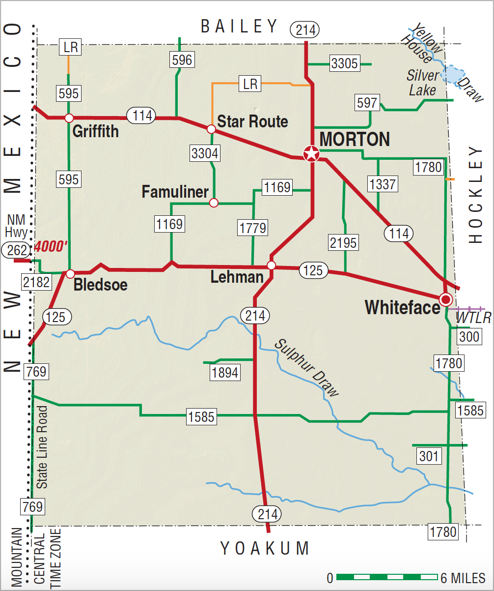
Cochran County, on the southern High Plains, is bordered on the west by New Mexico, on the north by Bailey County, on the east by Hockley County, and on the south by Yoakum County. It was named for Robert Cochran, who died at the Alamo. The center point of the county is 33°35' north latitude and 102°50' west longitude, some fifty miles west of Lubbock. Cochran County covers 783 square miles of level prairie with elevations varying from 3,500 to 3,800 feet above sea level; loamy or sandy soils predominate. Many small lakes dot the county, including Silver Lake, a small salt lake known to Spanish explorers as Laguna Quemado. Rainfall in the area averages 15.62 inches a year; the average minimum temperature in January is 23° F; the average high in July is 92° F. The growing season lasts 189 days. Mesquite and grama grasses provide much of the ground cover. State highways 214 (north–south), 114 (east–west), and 125 (east–west) serve the county.
According to archeological evidence, Indians hunted in the area that is now Cochran County 5,000 to 10,000 years ago. In the 1600s Kiowas and Apaches made war and hunted in the region after acquiring horses from the Spanish. In the 1700s, Comanches of the Quahadi or Antelope band took the area in battle; relying on buffalo hunting and raiding of other Indians and Whites, they were dominant until the United States Army subdued them in the 1870s. In 1880, a detachment of Texas Rangers led by George W. Arrington stopped at Silver Lake on the way from Yellow House Canyon to New Mexico in search for the legendary "Lost Lakes."
John Leffler | © TSHA

Adapted from the official Handbook of Texas, a state encyclopedia developed by Texas State Historical Association (TSHA). It is an authoritative source of trusted historical records.

- ✅ Adoption Status:
- This place is available for adoption! Available for adoption!
- Adopted by:
- Your name goes here
- Dedication Message:
- Your message goes here
Currently Exists
Yes
Place type
Cochran County is classified as a County
Altitude Range
3565 ft – 4000 ft
Size
Land area does not include water surface area, whereas total area does
- Land Area: 775.2 mi²
- Total Area: 775.2 mi²
Temperature
January mean minimum:
24.4°F
July mean maximum:
91.5°F
Rainfall, 2019
18.9 inches
Population Count, 2019
2,853
Civilian Labor Count, 2019
1,069
Unemployment, 2019
9.1%
Property Values, 2019
$480,943,415 USD
Per-Capita Income, 2019
$38,312 USD
Retail Sales, 2019
$29,249,587 USD
Wages, 2019
$8,128,944 USD
County Map of Texas
Cochran County
- Cochran County
Places of Cochran County
| Place | Type | Population (Year/Source) | Currently Exists |
|---|---|---|---|
| Town | 132 (2021) | Yes | |
| Town | – | – | |
| Town | – | – | |
| Town | – | – | |
| Town | – | – | |
| Town | 5 (2009) | Yes | |
| Town | – | – | |
| Town | – | – | |
| Town | 12 (2009) | Yes | |
| Town | – | – | |
| Town | 6 (2009) | Yes | |
| Town | – | – | |
| Town | – | – | |
| Town | 1,668 (2021) | Yes | |
| Town | – | – | |
| Town | – | – | |
| Town | – | – | |
| Town | – | – | |
| Town | – | – | |
| Town | 15 (2009) | Yes | |
| Town | 371 (2021) | Yes |
Photos Nearby:

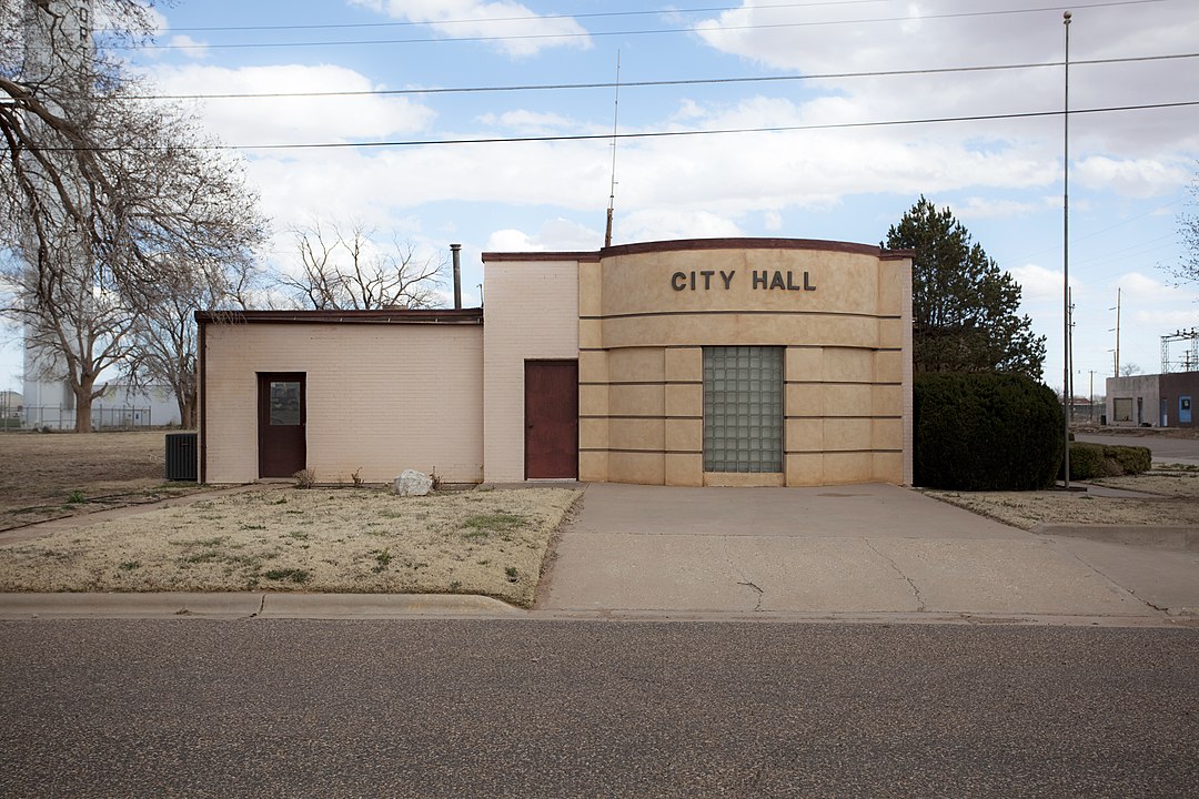
Morton, Texas
City Hall in the Town of Morton, Texas. Photograph by Leaflet.

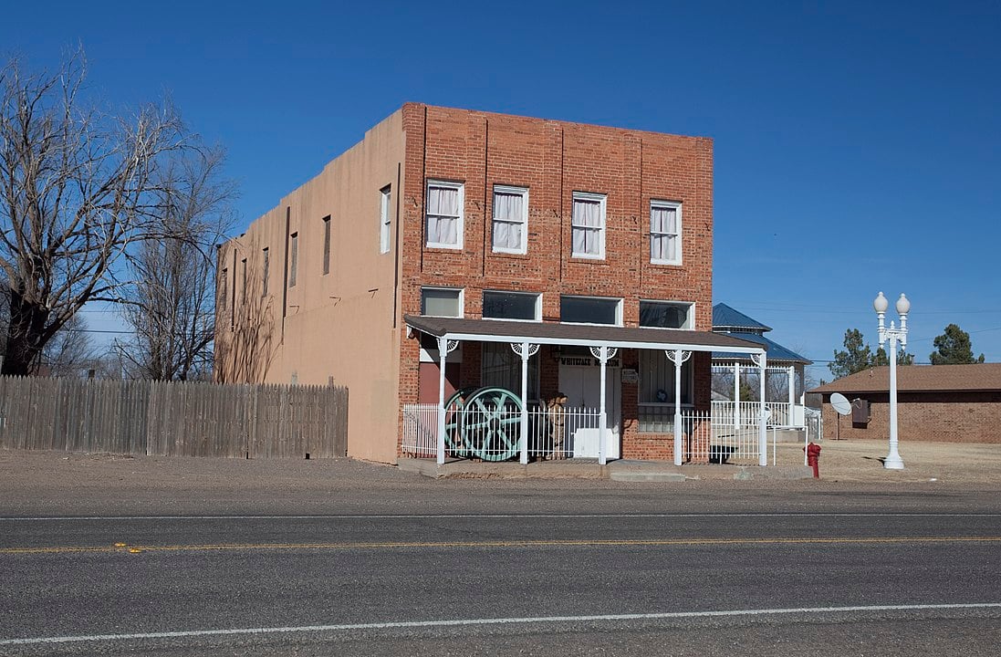
Whiteface, Texas
Whiteface Hotel, in Whiteface, Texas. Photograph by Leaflet.

Proud to call Texas home?
Put your name on the town, county, or lake of your choice.
Search Places »

