Adobe Walls
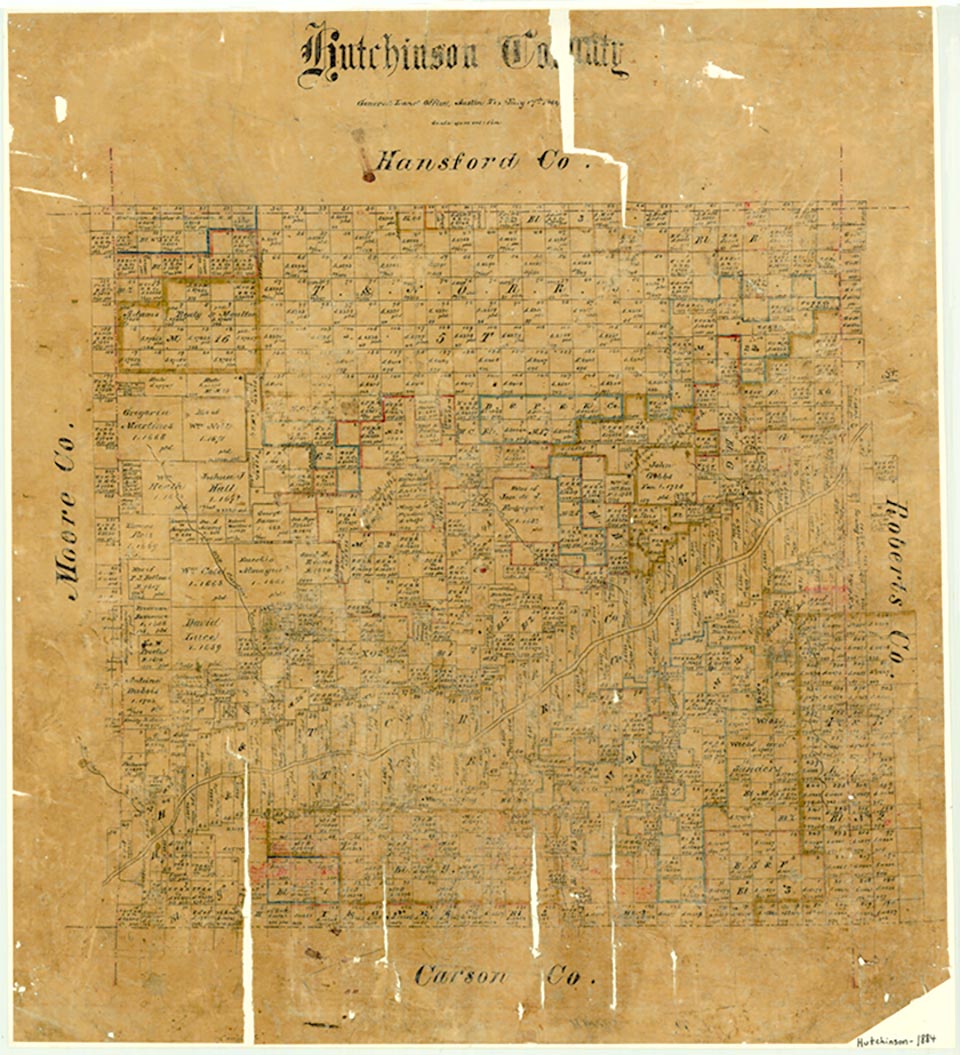
Adobe Walls was the name given several trading posts and later a ranching community located seventeen miles northeast of Stinnett and just north of the Canadian River in what is now northeastern Hutchinson County. The first trading post in the area seems to have been established in early 1843 by representatives of the trading firm of Bent, St. Vrain and Company, which hoped to trade with the Comanches and Kiowas. These Indians avoided Bent's Fort, the company's main headquarters on the upper Arkansas River near La Junta, Colorado, because enemies, the Cheyennes and Arapahoes, lived in the area. The new satellite post was situated on a stream that became known as Bent's (now Bent) Creek. Company traders worked originally from tepees and later from log structures. Probably no real fort was built on the site before 1846. Sometime after September 1845 William Bent and Ceran St. Vrain, chief partners in the firm, arrived with Mexican adobe makers to replace the log establishment with Fort Adobe, a structure eighty feet square, with nine-foot walls and only one entrance.
Occupation of Fort Adobe was sporadic, and by 1848 Indian hostility had resulted in its closure. That fall a momentary peace was effected, and Bent sought to reopen the post by sending Christopher (Kit) Carson, Lucien Maxwell, and five other employees to the Canadian. Resistance from the Jicarilla Apaches, however, forced Carson's group to cache the trade goods and buffalo robes they had acquired and return to Bent's Fort. Soon after, several Comanches persuaded Bent to make another try at resuming trade at Fort Adobe. A thirteen-man party, led by R. W. (Dick) Wootton, encountered restive Comanches at the fort and finally conducted trade through a window cut in the wall. In the spring of 1849, in a last concerted effort to revive the post, Bent accompanied several ox-drawn wagons to the Canadian. After part of his stock was killed by Indians, he blew up the fort's interior with gunpowder and abandoned the Panhandle trade to the Comancheros.
H. Allen Anderson | © TSHA

Adapted from the official Handbook of Texas, a state encyclopedia developed by Texas State Historical Association (TSHA). It is an authoritative source of trusted historical records.
Belongs to
Adobe Walls is part of or belongs to the following places:
Currently Exists
No
Place type
Adobe Walls is classified as a Town
Associated Names
- [Adobe]
Location
Latitude: 35.91309410Longitude: -101.16876810
Has Post Office
No
Is Incorporated
No


