Bono
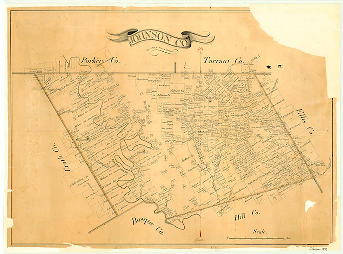
Bono is on Farm Road 2331 a mile west of U.S. Highway 67 in southwestern Johnson County. The site was settled in the early 1870s with the arrival of the families of Calvin L. Jones and B. H. Williamson, who donated twenty acres each for a townsite. Sixteen acres were set aside as a church and school site; the remaining acreage was free to individuals who would build homes there. The church and school community attracted a number of families to the new community, named Bono by Jones. In 1879 a local post office opened. By 1900 the population reached seventy-five, and the town had become the site of a Baptist revival meeting. Unlike other Johnson County communities that the railroads bypassed, Bono continued to thrive until the Great Depression. The settlement had a gin, two stores, two churches, and a school. The population was seventy-five in 1938. Beginning in the 1940s, however, the population declined, the post office closed, and the number of area farmers decreased as the region switched from cotton to dairy production. A community building and Baptist church remained in the area in 1971, and a state highway map from 1984 noted the presence of a small cemetery located at Bono.
David Minor | © TSHA
Adapted from the official Handbook of Texas, a state encyclopedia developed by Texas State Historical Association (TSHA). It is an authoritative source of trusted historical records.
- ✅ Adoption Status:
Belongs to
Bono is part of or belongs to the following places:
Currently Exists
No
Place type
Bono is classified as a Town
Associated Names
- (Billingsley)
Location
Latitude: 32.32375520Longitude: -97.50446500
Has Post Office
No
Is Incorporated
No