Brushy Creek
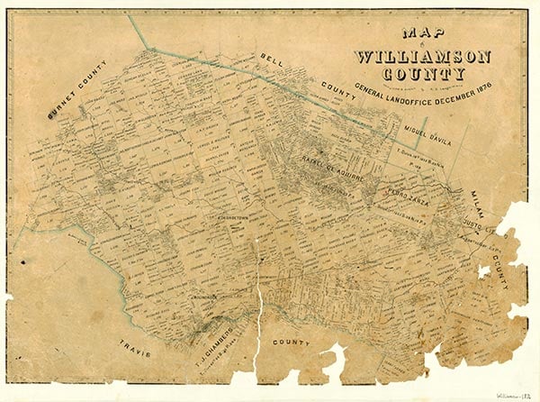
Round Rock is on Interstate Highway 35 in south central Williamson County, sixteen miles north of downtown Austin. It was established on the north bank of Brushy Creek where Jacob M. Harrell, formerly a blacksmith in Austin, set up his shop during the spring of 1848. The settlement was first called Brushy Creek. Thomas C. Oatts, who became the first postmaster in 1851, was asked by postal officials to submit another name, and on August 24, 1854, the town officially became Round Rock, as suggested by Oatts and Harrell, who often fished together from a large anvil-shaped limestone rock in Brushy Creek near their dwellings. The Chisholm Trail, used by early cattle drivers on their way to Kansas, passed through Round Rock, crossing Brushy Creek near the rock.
Washington Anderson had settled a short distance east of the original Round Rock in 1843 and built a gristmill, which was washed out by a flood in 1845. A later mill was installed west of the round rock near the present low-water bridge and dam. During the Civil War a wool-carding factory opened nearby, and in the 1870s a gin was erected. Greenwood Masonic Institute, a three-story structure, opened in 1867 and was operated by the Masonic Lodge until 1881, after which the Cumberland Presbyterian Church agreed to take over its administration. They renamed it Round Rock Institute. It burned down on April 9, 1883, and a new two-story building was constructed on College Hill. This building burned down in 1913. Local citizens administered the institution until it was transferred to the public schools in 1888.
Clara Stearns Scarbrough | © TSHA
Adapted from the official Handbook of Texas, a state encyclopedia developed by Texas State Historical Association (TSHA). It is an authoritative source of trusted historical records.
- ✅ Adoption Status:
Belongs to
Brushy Creek is part of or belongs to the following places:
Currently Exists
No
Place type
Brushy Creek is classified as a Town
Associated Names
- [1]
- [Brushy]
- (Round Rock)
Location
Latitude: 30.50825510Longitude: -97.67889600
Has Post Office
No
Is Incorporated
No