Buckhorn
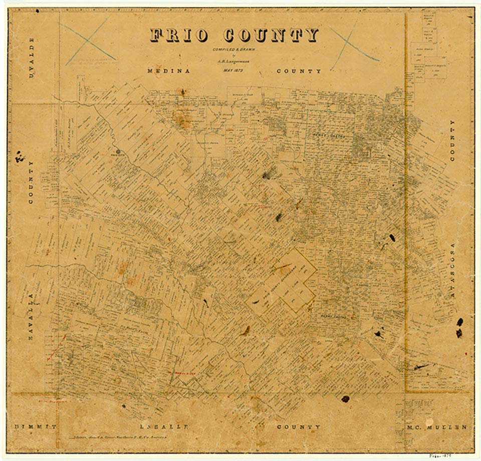
Buckhorn was a frontier community a half mile north of what is now Farm Road 1582 and eight miles southeast of Pearsall in southeast central Frio County. In 1913 Frio County school trustees formed a 3,200-acre school district in the southeastern part of the county. The eight-grade school at Buckhorn served the western half of this district, and the school at Shallow Wells its eastern half. Later the school district was parceled into 300-acre farms. Purchasers of the farms joined the families in the area to form the nucleus of Buckhorn. Longtime resident R. F. Foster provided three acres near the school as a site for a Methodist church. By 1929 three dwellings were near the church and school, and the site was surrounded by numerous farms. All that remained of Buckhorn in 1948 was a cemetery and a few dwellings. In 1964 only its cemetery remained. During the early 1990s several descendants of Foster and of John Wesley Devilbiss lived in the area.
Ruben E. Ochoa | © TSHA

Adapted from the official Handbook of Texas, a state encyclopedia developed by Texas State Historical Association (TSHA). It is an authoritative source of trusted historical records.

- ✅ Adoption Status:
Belongs to
Buckhorn is part of or belongs to the following places:
Currently Exists
No
Place type
Buckhorn is classified as a Town
Location
Latitude: 28.80914220Longitude: -99.02697590
Has Post Office
No
Is Incorporated
No

