Cana
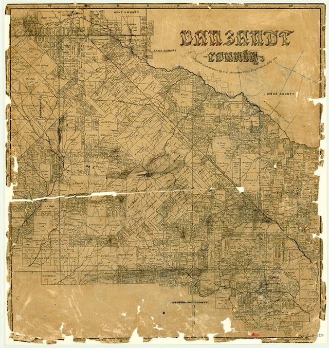
Cana was north of State Highway 243 and eight miles west of Canton in west central Van Zandt County. The 1936 county highway map showed a church, a cemetery, and scattered dwellings at the townsite, but by 1987 the community was no longer shown on maps.
Continue Reading
Diana J. Kleiner | © TSHA
Adapted from the official Handbook of Texas, a state encyclopedia developed by Texas State Historical Association (TSHA). It is an authoritative source of trusted historical records.
- ✅ Adoption Status:
Belongs to
Cana is part of or belongs to the following places:
Currently Exists
No
Place type
Cana is classified as a Town
Location
Latitude: 32.57457920Longitude: -96.01469140
Has Post Office
No
Is Incorporated
No