Chapin
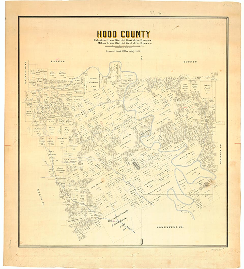
Walnut Creek rises a mile south of Chapin near the Hood-Parker county line in northeastern Hood County (at 32°31' N, 97°40' W) and flows south for ten miles before joining the Brazos River two miles south of Acton (at 32°25' N, 97°41' W). The stream flows over occasionally steeply sloping terrain with a shallow clay loam surface that supports juniper, live oak, and mesquite. For most of the county's history the area has been used as ranchland.
Continue Reading
| © TSHA
Adapted from the official Handbook of Texas, a state encyclopedia developed by Texas State Historical Association (TSHA). It is an authoritative source of trusted historical records.
- ✅ Adoption Status:
Belongs to
Chapin is part of or belongs to the following places:
Currently Exists
No
Place type
Chapin is classified as a Town
Location
Latitude: 32.53791420Longitude: -97.67558200
Has Post Office
No
Is Incorporated
No