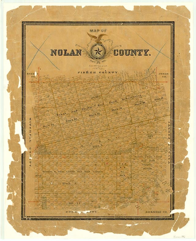
Divide

Divide was on Farm Road 126 two miles northeast of the site that became Nolan in east central Nolan County. The Dora Methodist Church, presumably named for a nearby community, was established in Divide about 1889. In 1904 the Nolan community built Slater's Chapel Methodist Church and dedicated a cemetery near the Divide settlement. The church building was disassembled and moved to Nolan in 1939. Four rural schools, including the Dora and Nolan schools, combined in 1928 to form the Divide Rural School District, which operated through the 1970s. Nothing remained of the former settlement by the 1980s except the Slater's Chapel cemetery.
Charles G. Davis | © TSHA

Adapted from the official Handbook of Texas, a state encyclopedia developed by Texas State Historical Association (TSHA). It is an authoritative source of trusted historical records.

- ✅ Adoption Status:
Belongs to
Divide is part of or belongs to the following places:
Currently Exists
No
Place type
Divide is classified as a Town
Location
Latitude: 32.27403200Longitude: -100.24481000
Has Post Office
No
Is Incorporated
No
