El Oso
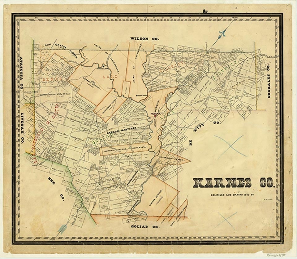
El Oso, on Farm Road 626 a mile north of Zunkerville in the southwestern corner of Karnes County, was the site of a general merchandise store and a cotton gin built in the 1920s to serve the surrounding farming community. Estimates of El Oso's population remained at fifty from the mid-1940s through the mid-1960s, after which no population figures were available. After the drought of the 1950s the nearby farms were abandoned, and El Oso's store and gin were closed. In 1971 a group of citizens from El Oso were instrumental in creating the El Oso Water Supply Corporation, which furnished water for many residents of Karnes County. In 2000 the population was thirty-five.
Robert H. Thonhoff | © TSHA

Adapted from the official Handbook of Texas, a state encyclopedia developed by Texas State Historical Association (TSHA). It is an authoritative source of trusted historical records.

- ✅ Adoption Status:
Belongs to
El Oso is part of or belongs to the following places:
Currently Exists
Yes
Place type
El Oso is classified as a Town
Location
Latitude: 28.73498280Longitude: -98.00222590
Has Post Office
No
Is Incorporated
No
Population Count, 2014
35

