Emmaus

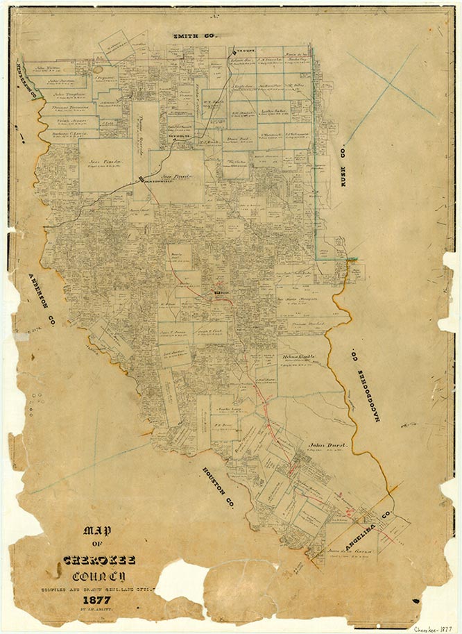
New Emmaus, also known as Emmaus, is on Farm Road 856 three miles north of U.S. Highway 79 in northeastern Cherokee County. It began in the mid-1800s on a pioneer road from Griffin in Cherokee County to New Salem in Rusk County, a major route of travel at that time. On February 23, 1877, a church was organized and called the Emmaus Baptist Church of Christ. In 1881 Col. Thomas A. Cocke and his wife, Mary, deeded two acres of land to the deacons for a church and cemetery. By 1920 an interdenominational church was organized, and a church house was built on private property. Members of the Baptist, Methodist, and Presbyterian churches used the building on alternating weekends. The Baptist church was reorganized in 1929 and its members constructed a new building in 1952. They added the word New to the church title, and soon the community became known as New Emmaus.
School was taught in the early church house. Dr. J. M. Brittain deeded two acres of land to the public for a school on June 29, 1891. Will Nichols sold the school a tract joining the Baptist church and cemetery lot on March 17, 1914, and the school was moved. It operated there until it was consolidated with the New Summerfield school in 1936. A 1936 map shows the town as Emmaus, with a few dozen scattered dwellings, a school, and a cemetery. The community had a general store and a cotton gin operated by R. S. (Bob) Houghton in the early 1900s and a small store near the school run by a Mr. Danner. When the school moved, the stores lost trade. The decline of cotton production forced the gin to close by the 1950s, when the town had one business and an estimated population of twenty-five. The Brittain schoolhouse and the interdenominational church building fell into decay. The community was still named Emmaus on a 1965 map, which showed it with several dwellings and a cemetery. A 1984 map also labeled the community Emmaus, and indicated only a cemetery at the site. However, though the Baptist church has had periods of inactivity, it has thus far always revived, and in 1990 it was the core of the community. That year New Emmaus had about fifty residents, a number of homes, some cattle pastures, and a few greenhouses.
Earla Clifton | © TSHA

Adapted from the official Handbook of Texas, a state encyclopedia developed by Texas State Historical Association (TSHA). It is an authoritative source of trusted historical records.

- ✅ Adoption Status:
Belongs to
Emmaus is part of or belongs to the following places:
Currently Exists
No
Place type
Emmaus is classified as a Town
Associated Names
- [New -]
- (Ameus)
Location
Latitude: 32.01516570Longitude: -95.04883090
Has Post Office
No
Is Incorporated
No
