Floy

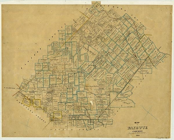
Floy, a switch and siding on the Southern Pacific line, is on Farm Road 154 2½ miles southwest of Muldoon between West Point and Flatonia in southwestern Fayette County. The switch was built before 1900 on the Waco branch of the San Antonio and Aransas Pass Railway at the request of E. A. Arnim and was named for Arnim's daughter. The railroad switch was designed as a loading point for firewood cut from the abundant oaks in the area. Because of the proximity of Muldoon, Floy never developed a business community but did have a school that operated until local consolidation. Floy residents both voted and received mail at Muldoon. Floy is located within the heart of the Muldoon oilfield, and during the 1980s a charcoal manufacturing plant remained in the area to take advantage of the abundantly available firewood that aided the foundation of the community.
Jeff Carroll | © TSHA

Adapted from the official Handbook of Texas, a state encyclopedia developed by Texas State Historical Association (TSHA). It is an authoritative source of trusted historical records.

- ✅ Adoption Status:
Belongs to
Floy is part of or belongs to the following places:
Currently Exists
No
Place type
Floy is classified as a Town
Location
Latitude: 29.78300700Longitude: -97.09915280
Has Post Office
No
Is Incorporated
No
