Freiheit
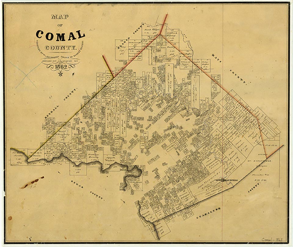
Freiheit, northeast of New Braunfels in eastern Comal County, originated in 1891 as the San Geronimo School community. The school, named for a nearby creek, was on land donated by Henry A. Rose and served the blacklands farming area 3½ miles northeast of New Braunfels. In 1906 a store opened near the school at the intersection of Eberling Lane and Prairie Lea Road. In 1910 Alonzo Nolte, owner of the store, organized the Freiheit Bowling Club, which lent its name to the crossroads community. In the reorganization of Comal County schools after World War II, the San Geronimo School was consolidated with the Goodwin Rural High School. The crossroads on Farm Road 1101 leading to New Braunfels Municipal Airport was still known as Freiheit (German for "freedom") in 1985.
Daniel P. Greene | © TSHA
Adapted from the official Handbook of Texas, a state encyclopedia developed by Texas State Historical Association (TSHA). It is an authoritative source of trusted historical records.
- ✅ Adoption Status:
Belongs to
Freiheit is part of or belongs to the following places:
Currently Exists
No
Place type
Freiheit is classified as a Town
Location
Latitude: 29.71716870Longitude: -98.06889620
Has Post Office
No
Is Incorporated
No