Garza's Crossing

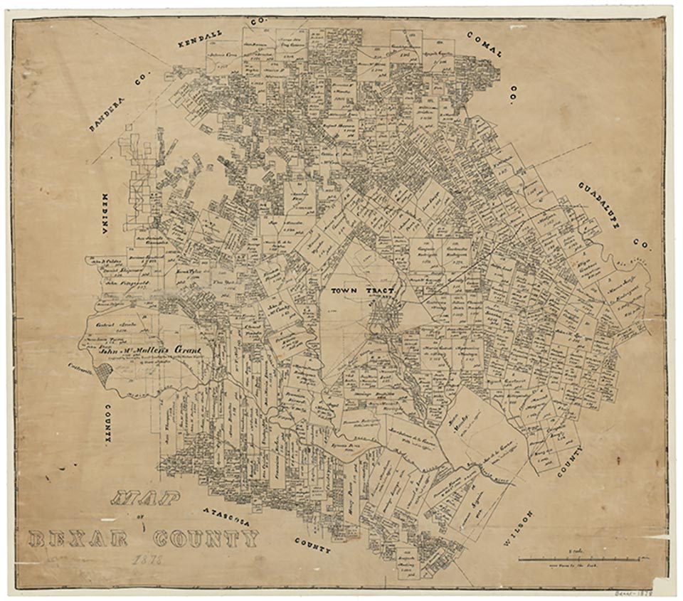
Garza’s Crossing, also known at times as Garzas and Paso de las Garzas, is at the intersection of Old Somerset Road and the Medina River in southwest Bexar County. The original ranchers in the area were Ignacio Pérez, Ángel Navarro, Juan Manuel Ruiz, Francisco Ricardo Hernandez, Bernardino Ruiz de Castañeda, and Jose Maria Bacerra. The town was named for Miguel de la Garza, a rancher and ferryman active in the area in the 1850s.
Garza’s Crossing was first used by the Alarcón Expedition on April 21, 1718, after which it became the location of the Medina River crossing on the Lower Laredo Road. During the Battle of the Medina in 1813, Garza’s Crossing was one of five known river crossings used by either republican or royalist forces.
Art Martínez de Vara | © TSHA

Adapted from the official Handbook of Texas, a state encyclopedia developed by Texas State Historical Association (TSHA). It is an authoritative source of trusted historical records.

- ✅ Adoption Status:
Belongs to
Garza's Crossing is part of or belongs to the following places:
Currently Exists
No
Place type
Garza's Crossing is classified as a Town
Associated Names
- [Garza's]
- (Medinaville)
Location
Latitude: 29.28139400Longitude: -98.61446000
Has Post Office
No
Is Incorporated
No
