Las Cuevas
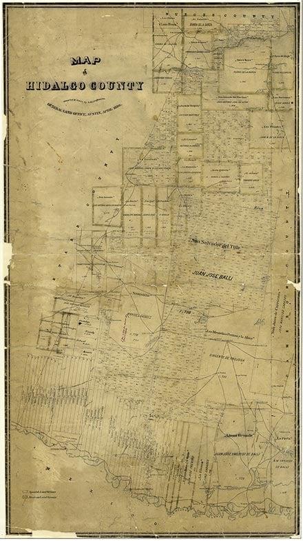
Cuevitas is a colonia (see COLONIAS) off Farm Road 886 one mile north of the Rio Grande in extreme southwestern Hidalgo County. A settlement called Las Cuevas (Spanish for "the Caves"), dating to the Mexican Republic, was north of the site of present Cuevitas. It was the site of an encounter between Mexican armed rebels and Confederate soldiers that resulted in the death of three teamsters and the theft of the entire wagon train they were driving. The community of Las Cuevas continued to exist into the 1940s. But by 1976 it had been replaced by the colonia, which had forty-eight dwellings and a population of 242. By 1986 it had forty-two dwellings and a population estimated at 189. By 2000 the population was thirty-seven. It received its water from the La Joya Water District.
Alicia A. Garza | © TSHA
Adapted from the official Handbook of Texas, a state encyclopedia developed by Texas State Historical Association (TSHA). It is an authoritative source of trusted historical records.
- ✅ Adoption Status:
Belongs to
Las Cuevas is part of or belongs to the following places:
Currently Exists
No
Place type
Las Cuevas is classified as a Town
Associated Names
- (Cuevitas)
Location
Latitude: 26.27645950Longitude: -98.56918870
Has Post Office
No
Is Incorporated
No