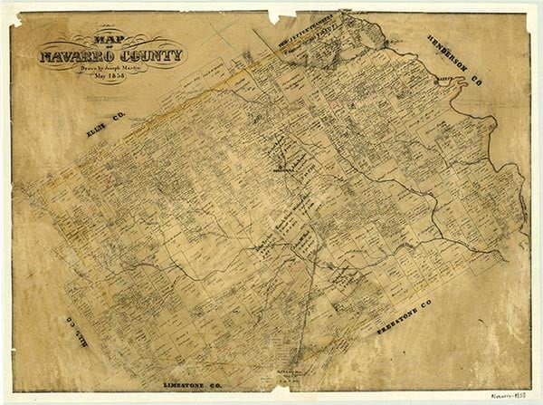
Liberty Hill
Liberty Hill, on Farm Road 709 two miles west of Dawson in western Navarro County, was established before 1900, when a Liberty Hill school was in operation; in 1906 the school enrolled twenty. In the mid-1930s the small community had a school, a cemetery, and a number of houses. The school was consolidated with the Dawson school after World War II, and by the mid-1960s only the cemetery and a few widely scattered houses remained. In the early 1990s Liberty Hill was a dispersed rural community for which no population estimates were available.
Christopher Long | © TSHA
Adapted from the official Handbook of Texas, a state encyclopedia developed by Texas State Historical Association (TSHA). It is an authoritative source of trusted historical records.
- ✅ Adoption Status:
Belongs to
Liberty Hill is part of or belongs to the following places:
Currently Exists
No
Place type
Liberty Hill is classified as a Town
Location
Latitude: 31.88821450Longitude: -96.75582520
Has Post Office
No
Is Incorporated
No