McCoy
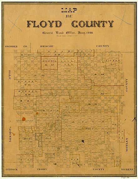
McCoy, formerly known as McCoy School, is just west of the junction of Farm roads 54 and 3111, twelve miles southwest of Floydada in southwestern Floyd County. It developed around a school district that was established in 1908 and named for resident A. J. McCoy. By 1925 the school had 100 students, and a brick schoolhouse had been built, which served the area until the school was consolidated with the Floydada school about 1946. During the 1920s the town grew to include a grocery, a general store, and a gin, as well as Methodist and Baptist churches. McCoy in 1936 had a church, a school, and two businesses. In 1979 a grocery, a gin (begun in 1925), a farm supply store, and a grain elevator were active; by 1986 the grocery had closed. In 1980 McCoy had a population of ninety-six; in 1990 no population figures were available for the community. In 2000 the population was two.
Charles G. Davis | © TSHA
Adapted from the official Handbook of Texas, a state encyclopedia developed by Texas State Historical Association (TSHA). It is an authoritative source of trusted historical records.
- ✅ Adoption Status:
Belongs to
McCoy is part of or belongs to the following places:
Currently Exists
Yes
Place type
McCoy is classified as a Town
Location
Latitude: 33.86813660Longitude: -101.43766000
Has Post Office
No
Is Incorporated
No
Population Count, 2009
20