Milburn
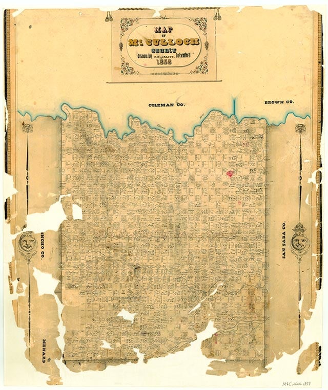
Milburn is one mile south of the Colorado River near Farm Road 765 in the northeastern corner of McCulloch County. The nearby settlements of Dugout and Beasley's Crossing on the Colorado River attracted settlers to the region before the Civil War. Milburn itself had its beginnings in 1873, when a man named Milburn built a store. A post office opened in 1878. By 1884 the community had a steam gristmill, three churches, a district school, a general store, a hotel, and 150 residents. In 1894 a bridge was built over the Colorado River near the town, and Milburn hoped that the Fort Worth and Rio Grande Railroad would build over that crossing in 1903. The town and the railroad failed to come to terms, however, and in 1904 the railroad found its own crossing a few miles to the west. Milburn suffered for lack of the railroad and was further isolated when a flood washed out a section of its bridge in 1936. The undamaged portion of the bridge was moved to Waldrip. Milburn's post office was discontinued in 1936. The population was 283 in 1933 but fell to 150 by 1941; 100 residents and two businesses were reported from 1949 to 1961. In 2000 the population was eight.
Vivian Elizabeth Smyrl | © TSHA
Adapted from the official Handbook of Texas, a state encyclopedia developed by Texas State Historical Association (TSHA). It is an authoritative source of trusted historical records.
- ✅ Adoption Status:
Belongs to
Milburn is part of or belongs to the following places:
Currently Exists
Yes
Place type
Milburn is classified as a Town
Associated Names
- (Dugout)
Location
Latitude: 31.43766140Longitude: -99.10977170
Has Post Office
No
Is Incorporated
No
Population Count, 2009
8