Norman Hill
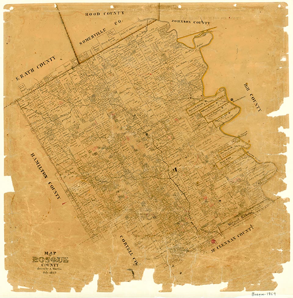
Norman Hill is a peak six miles southwest of Clifton in southwestern Bosque County (at 31°43' N, 97°39' W). The elevation of its summit, which rises 161 feet above Neils Creek to the south, is 890 feet above sea level. Norman Hill lies in an area of the Grand Prairie characterized by topography that ranges from flat terrain with local dissection to rolling prairie with occasional steep limestone slopes. Vegetation consists primarily of oak, juniper, grasses, chaparral, and cacti growing in generally shallow and stony clay loam soils. By 1856 the Norman Hill area was a recognized focus of Bosque County settlement.
| © TSHA
Adapted from the official Handbook of Texas, a state encyclopedia developed by Texas State Historical Association (TSHA). It is an authoritative source of trusted historical records.
- ✅ Adoption Status:
Belongs to
Norman Hill is part of or belongs to the following places:
Currently Exists
No
Place type
Norman Hill is classified as a Town
Has Post Office
No
Is Incorporated
No