Pelican

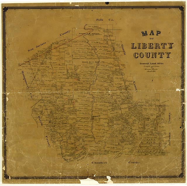
Pelican was on the Gulf, Colorado and Santa Fe Railway, fifty miles northeast of Houston in northern Liberty County. The post office was established in 1896. Numerous tram railroads cut through the densely forested area near Pelican. By 1910 J. S. Johnson operated a sawmill there, and E. Powell ran a gin. The population was about thirty. In 1914, however, the post office was discontinued, and the community gradually faded from existence. Although discovery of the Pelican oilfield in 1954 brought a brief flurry of activity to the area, the community no longer appears on topographic or highway maps. Lumbering remains the primary economic concern of the region.
Robert Wooster | © TSHA

Adapted from the official Handbook of Texas, a state encyclopedia developed by Texas State Historical Association (TSHA). It is an authoritative source of trusted historical records.
Belongs to
Pelican is part of or belongs to the following places:
Currently Exists
No
Place type
Pelican is classified as a Town
Associated Names
- (Fox)
- (Meriam)
Location
Latitude: 30.36687440Longitude: -95.03215450
Has Post Office
No
Is Incorporated
No

