Post Oak Island
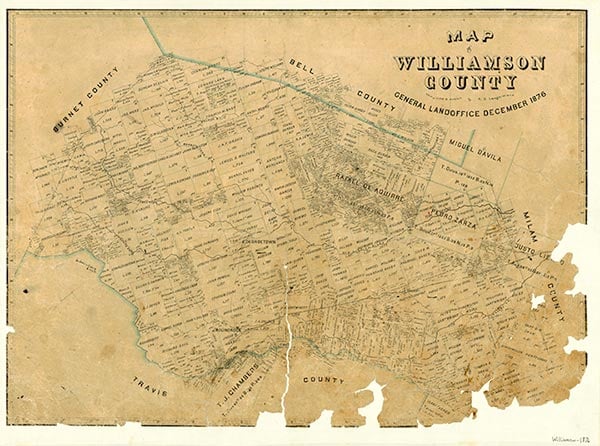
Post Oak Island was a town on the low ridge dividing the watersheds of Brushy and Yegua creeks in Williamson County. It was named for the large "island" or grove of post oak trees at its site on the prairie. It was one of the earliest towns in Williamson County and was mentioned in connection with the 1839 battle of Brushy Creek. The diaries of Nicholas Adolphus Sterne describe the night he spent at Post Oak Island on December 6, 1840, and the October 13, 1846, minutes of the Travis County Commissioners Court mentioned a road from Austin to Post Oak Island. It is shown along with Georgetown on the 1849 Jacob Raphael De Cordova Map of the State of Texas. In the 1840s it was on an early mail route from Huntsville to Austin and Nashville-on-the-Brazos. Post Oak Island Masonic Lodge No. 181 (chartered in January 1856) was located near one of the few surviving post oaks. A post office was established in August 1855, with I. J. Kidd as postmaster. Between 1867 and 1876 the town had no post office, and on September 30, 1880, the post office was discontinued. The town had one of the earliest schools in the county and subsequent schools were built there in 1878 and 1892. The 1892 school was moved in 1915 about half a mile to the east and renamed Woodrow. The town also at one time included a store that doubled as a stagecoach stop, a mule barn that supplied mules for Williamson County road work, and a gin built in 1904. Soon after the Civil War, on December 2, 1871, the Colorado and Post Oak Island Railroad was incorporated. It was to provide service from McDade to Post Oak Island; it failed, however, and the railroad later went through Coupland. This contributed to the ultimate demise of Post Oak Island. Local agriculture changed from the open range to cropland and then back to rangeland. Between 1915 and 1930 the town began to disappear. The Great Depression, World War I and II, and the availability of jobs in larger nearby cities were major factors changing Post Oak Island from a town to countryside. Eventually the Masonic lodge was moved to Beaukiss, and the stores, gin, and school closed. The settlement is no longer shown on maps.
Charlene Hanson Jordan, Travis Jordan | © TSHA
Adapted from the official Handbook of Texas, a state encyclopedia developed by Texas State Historical Association (TSHA). It is an authoritative source of trusted historical records.
- ✅ Adoption Status:
Belongs to
Post Oak Island is part of or belongs to the following places:
Currently Exists
No
Place type
Post Oak Island is classified as a Town
Location
Latitude: 30.43520560Longitude: -97.32999530
Has Post Office
No
Is Incorporated
No