Pumpkin
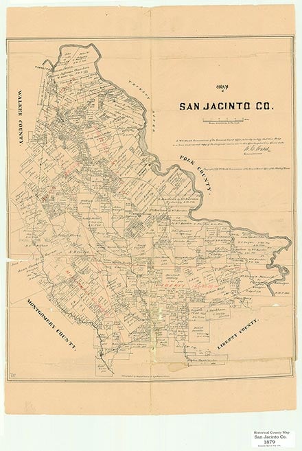
Pumpkin is a small rural community located near the junction of Farm Road 2693 and State Highway 150 about ten miles west-southwest of Coldspring in west central San Jacinto County. This settlement in the Sam Houston National Forest probably began in the late 1800s and was named for a nearby creek. Highway maps in the 1930s showed homes in the area. By the late twentieth century Pumpkin had a store, a church, and a volunteer fire department. In 2000 the population was 150.
Laurie E. Jasinski | © TSHA
Adapted from the official Handbook of Texas, a state encyclopedia developed by Texas State Historical Association (TSHA). It is an authoritative source of trusted historical records.
- ✅ Adoption Status:
Belongs to
Pumpkin is part of or belongs to the following places:
Currently Exists
Yes
Place type
Pumpkin is classified as a Town
Location
Latitude: 30.54742250Longitude: -95.28410670
Has Post Office
No
Is Incorporated
No
Population Count, 2014
100