Real County

Real County, Texas

Real County, Texas
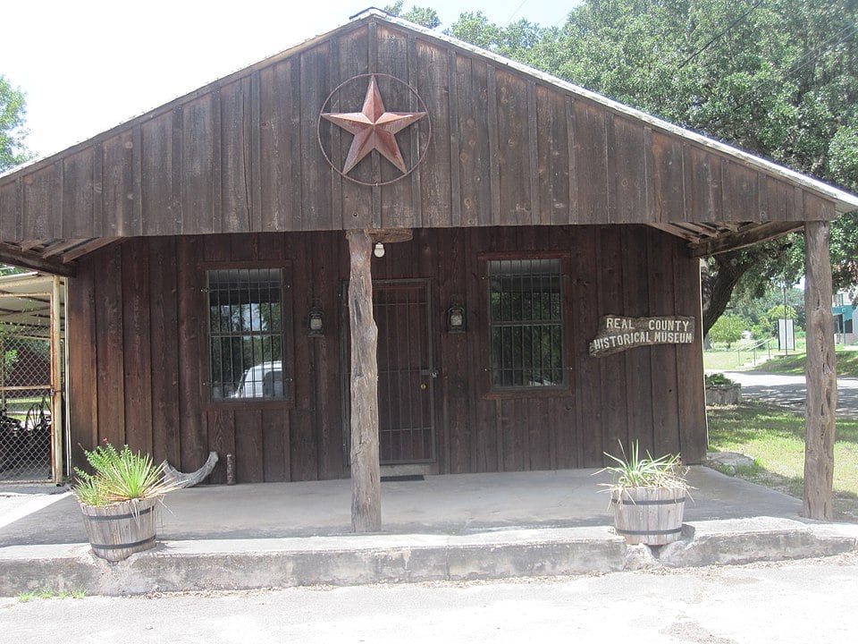
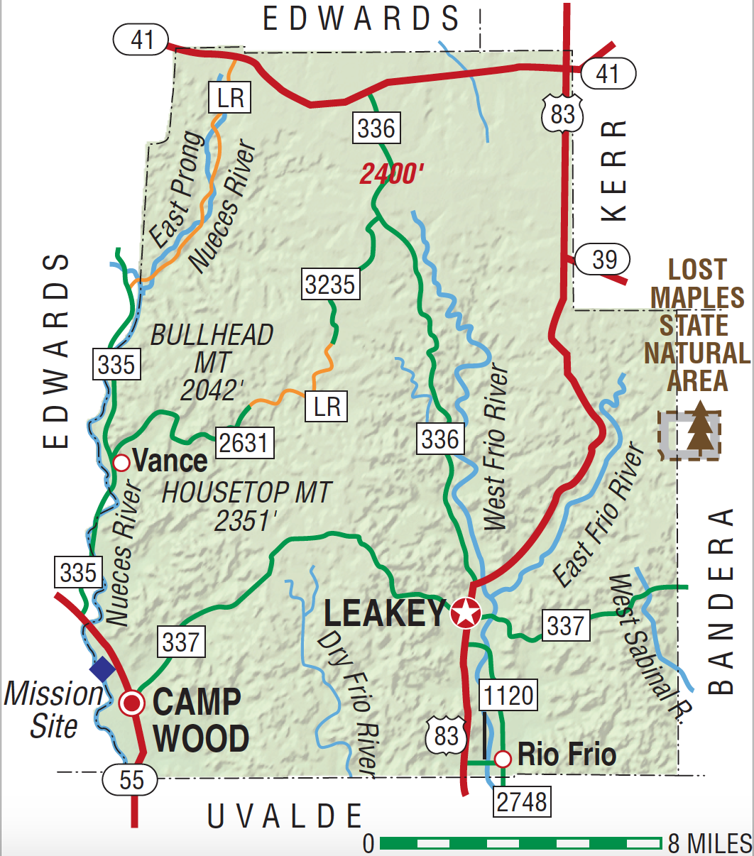
Real County is in southwest Texas, bounded on the north and west by Edwards County, on the east by Kerr and Bandera counties, and on the south by Uvalde County. The center of the county lies at 29°50' north latitude and 99°50' west longitude, 100 miles northwest of San Antonio. The area was named for Julius Real, the only Republican in the Texas Senate when the county was formed in 1913. Real County encompasses 622 square miles of the Balcones Escarpment on the southern edge of the Edwards Plateau; its terrain is characterized by sharply dissected canyonlands crossed by numerous streams, which flow from perennial springs in the water-bearing strata of the Edwards and Glen Rose limestone formations and descend the escarpment over beds of limestone, gravel, and calcareous soils. Headwaters of both the Frio and the Nueces rivers lie within Real County; the Nueces forms the county's western boundary with Edwards County. Elevations range from 1,500 feet in the valleys to 2,400 feet in the northern part of the county at the edge of the plateau; the mountains and ridges in the western half of the county, the eastern edge of the Nueces Canyon, are steeper and more rugged than those along the Frio Canyon to the east. Rainfall averages 23.88 inches annually. Temperatures range from an average low of 35° F in January to an average high of 96° F in July; the growing season lasts about 235 days. Although agriculture has been of limited significance to the area since the earliest periods of human occupation, arable land is found in the valleys, where pecan trees are plentiful. It is believed that until the middle of the nineteenth century forestation in the area was confined to the bottoms, while the uplands were covered with rich grasslands, which, coupled with the abundance of water, ensured a constant supply of game animals, birds, and fish as well as berries, nuts, and roots. Today the area is heavily forested with live oak, Ashe juniper, and mesquite on the ridges and uplands as well as on the hills and escarpment. In the early 1980s much of Real County's economy revolved around ranching. In 1982, 83 percent of the county's land was in farms and ranches; about 2 percent of the land was irrigated, and 97 percent of the county's agricultural receipts derived from livestock, especially cattle, sheep, and angora goats. Only about 3 percent of the county's workforce was engaged in manufactures; tourism supported 117 workers, more than any other industry in the area.
Archaeological excavations in the region reveal Paleo-American occupation contemporaneous with the presence of now-extinct fauna. There have been numerous archaeological finds of materials from the Edwards Plateau and Central Texas aspects (the two most extensive known prehistorical culture complexes in Texas), which represent Archaic and Neo-American stages, respectively. The beginning of the Edwards Plateau aspect is dated around 5,000 B.C. Occupation sites, along stream terraces and limestone promontories or in caves and rock shelters, are extremely numerous throughout Real County; they are almost invariably marked by burnt-rock middens, the massive accumulations of cracked and discarded limestone hearthstones, and other cultural debris, which are a definitive feature of the Edwards Plateau aspect. Sometimes erroneously called "mounds," the middens reach several feet in thickness and sometimes extend over an acre, revealing generations or even centuries of habitation at individual sites. The people who occupied these sites had an economy based on hunting (primarily deer), and though it is virtually certain that no agriculture was practiced, there is evidence that vegetal products were of some importance to the inhabitants. Although the larger sites suggest a sedentary culture, the absence of agriculture indicates that small bands in the area probably roved in search of game and plants, returning periodically to a central location. The Neo-American stage began around A.D. 600. Occupation sites are situated similarly to those of the earlier Archaic period, but accumulations of cultural debris are far less extensive; these later inhabitants may have practiced some agriculture, and pottery, much of it tradeware, is common at the site. By the beginning of the historical period Tonkawas, probably the descendants of this indigenous population, inhabited most of Central Texas, including Real County. By the first decades of the eighteenth century Lipan Apaches had gained control of the Upper Nueces Valley. In 1762 El Gran Cabezón, a powerful Lipan band chief seeking protection from the Comanches and their allies to the north, persuaded Franciscans and elements of the Spanish military to establish San Lorenzo de la Santa Cruz Mission on the Nueces River near the site of present Camp Wood. Later, a second mission, Nuestra Señora de la Candelaria, was established downriver at the site of Montell in present Uvalde County. The Lipans, nomadic bison hunters, did not adjust to mission living, however, and the establishments were never officially sanctioned or given adequate support by Spain's colonial government. The Lipan bands that had settled there had departed by 1767, and San Lorenzo was finally abandoned in 1771. Numerous specimens of rock art in Central Texas have been discovered in the canyons along the headwaters of the Nueces and Frio rivers. While the origins of these paintings are unclear (some of them can definitely be dated to historical times), they were probably produced by the Tonkawas and their Neo-American ancestors, then added to by their Lipan and Comanche successors. The paintings constitute the eastern periphery of rock art in the state.
John Minton | © TSHA

Adapted from the official Handbook of Texas, a state encyclopedia developed by Texas State Historical Association (TSHA). It is an authoritative source of trusted historical records.

- ✅ Adoption Status:
Currently Exists
Yes
Place type
Real County is classified as a County
Altitude Range
1400 ft – 2400 ft
Size
Land area does not include water surface area, whereas total area does
- Land Area: 699.2 mi²
- Total Area: 700.1 mi²
Temperature
January mean minimum:
33.6°F
July mean maximum:
93.0°F
Rainfall, 2019
27.4 inches
Population Count, 2019
3,452
Civilian Labor Count, 2019
945
Unemployment, 2019
8.0%
Property Values, 2019
$1,175,641,566 USD
Per-Capita Income, 2019
$34,687 USD
Retail Sales, 2019
$29,791,590 USD
Wages, 2019
$5,490,281 USD
County Map of Texas
Real County
- Real County
Places of Real County
| Place | Type | Population (Year/Source) | Currently Exists |
|---|---|---|---|
| Town | – | – | |
| Town | – | – | |
| Town | – | – | |
| Town | – | – | |
| Town | 508 (2021) | Yes | |
| Town | – | – | |
| Town | – | – | |
| Town | – | – | |
| Town | – | – | |
| Town | 333 (2021) | Yes | |
| Town | – | – | |
| Town | – | – | |
| Town | 50 (2009) | Yes | |
| Town | – | – | |
| Town | – | – | |
| Town | 20 (2014) | Yes |
Photos Nearby:

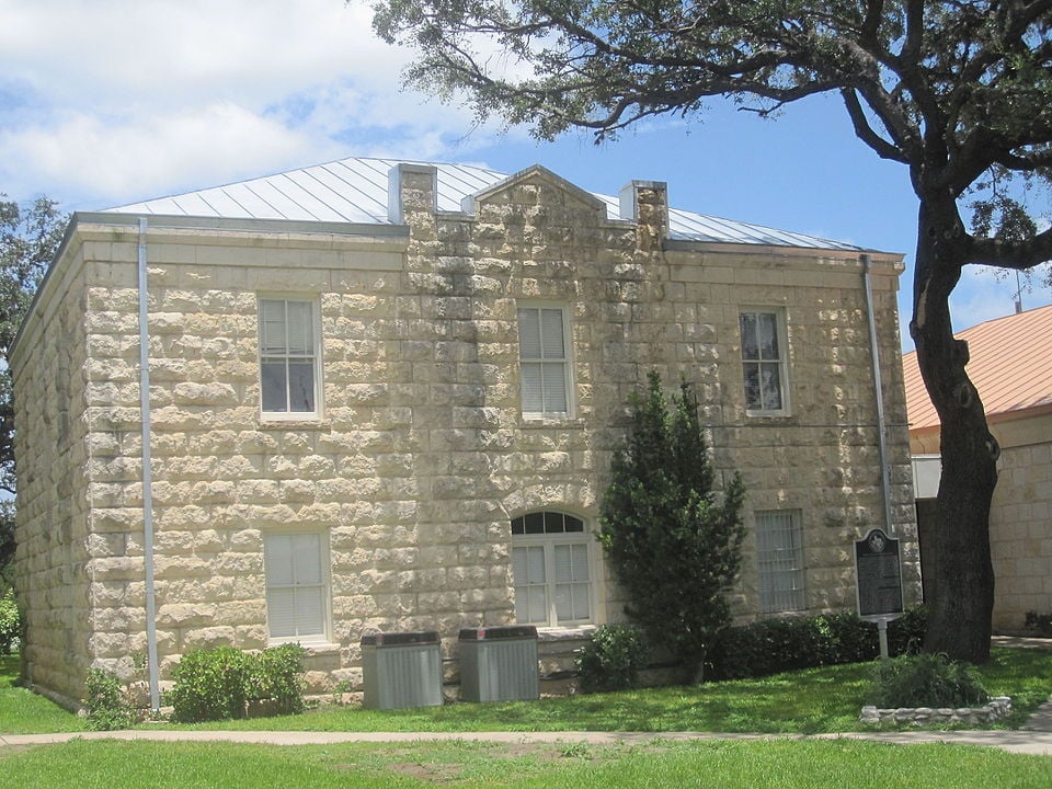
Leakey, Texas
Leakey, Texas, the seat of Real County houses the county courthouse. Photograph by Billy Hathorn.

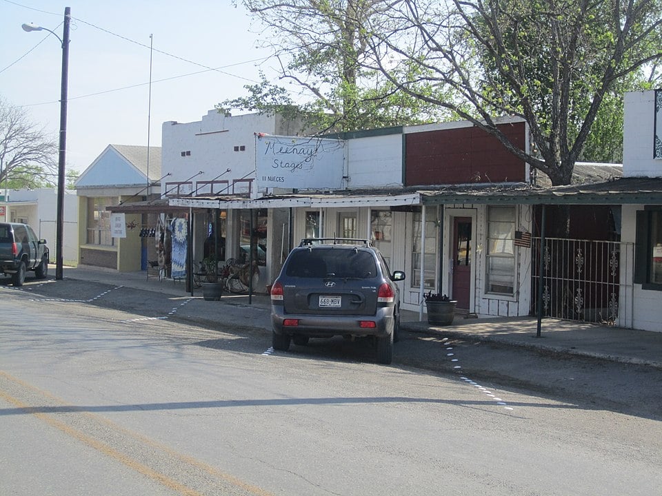
Camp Wood, Texas
Camp wood is a small ctiy in the Texas Hill Country within Real County, Texas. Photograph by Billy Hathorn.

Proud to call Texas home?
Put your name on the town, county, or lake of your choice.
Search Places »

