Rosharon
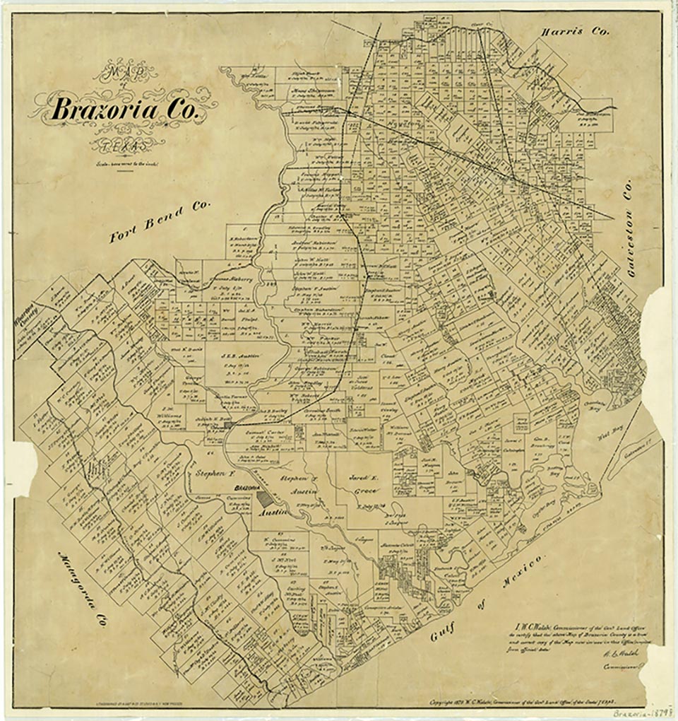
Rosharon is at the intersection of Farm roads 521 and 1462, fourteen miles north of Angleton and 7½ miles east of the Brazos River in northern Brazoria County. The site was settled before the Civil War by cotton and sugar planters and probably had no name until 1859, when the Columbia Tap Railroad was completed and a stop there was named Masterson's Station for the owner of a nearby plantation. It was also known locally as Buttermilk Station because an early resident frequently brought a bucket of buttermilk and a dipper to the stop to treat the crew to a drink. About 1900 George Wetmore Colles bought property near the site. He called his place, and later the town, the Rose of Sharon Garden Ranch because of the Cherokee roses growing in the area. The town's name was later shortened to Rosharon. Colles obtained a post office in 1912 and designed the community water system. A. G. Arcaro operated the first store and the post office in one room of his house. After the business was sold, the post office was closed, then reopened in Boyd's Store thanks to the efforts of Tom Lochridge. This post office closed in 1920. Lochridge platted the townsite and had a cotton gin moved to Rosharon from Houston, thus providing employment for several persons. The gin's engine was used for the town's first power plant. He also operated the community's first telephone exchange in his home. The first school was held in a private home and later moved to a separate building. Some years later the Rosharon district was consolidated with the Angleton schools; students were bused to Angleton in the late twentieth century. Church meetings were first held in a former school, then in a tavern that community members had bought and converted into a church. Eventually a brick church was constructed. South Texas Water Company located in Rosharon in 1935, and its fresh watercanals for irrigating rice brought some seventy-five to eighty rice farmers to the area. The population was estimated at 500 in 1988, when the town had a post office. Most residents commuted to jobs in nearby towns, but the surrounding land was still used for ranching and farming. The main crops were rice and soybeans, with lesser amounts of corn and some cotton. Four units of the Texas Department of Corrections, three at Ramsey and one at Darrington, were located nearby, and TDC employees and their families added considerably to the town's economy (see PRISON SYSTEM). In 1990 and again in 2000 the population was 435.
Marie Beth Jones | © TSHA
Adapted from the official Handbook of Texas, a state encyclopedia developed by Texas State Historical Association (TSHA). It is an authoritative source of trusted historical records.
- ✅ Adoption Status:
Belongs to
Rosharon is part of or belongs to the following places:
Currently Exists
Yes
Place type
Rosharon is classified as a Town
Associated Names
- (Buttermilk Station)
- (Masterson)
Location
Latitude: 29.35218410Longitude: -95.46021900
Has Post Office
Yes
Is Incorporated
No
Population Count, 2021 View more »
1,721