Ruth
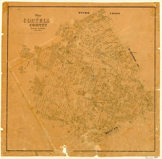
Ruth was near Henson Mountain ten miles southeast of Gatesville in southeast Coryell County. A post office served the community from 1885 to 1905, when mail was directed to Straw's Mill. Ruth had a church and a cotton gin, and its school operated until 1912, when it was consolidated with the Ewing school. In 1940 Ruth's population was twenty. Fort Hood (now Fort Cavazos) took in the site in 1942.
Continue Reading
Sylvia Edwards | © TSHA
Adapted from the official Handbook of Texas, a state encyclopedia developed by Texas State Historical Association (TSHA). It is an authoritative source of trusted historical records.
- ✅ Adoption Status:
Belongs to
Ruth is part of or belongs to the following places:
Currently Exists
No
Place type
Ruth is classified as a Town
Associated Names
- (Farmers Spring)
Location
Latitude: 31.31850200Longitude: -97.69557530
Has Post Office
No
Is Incorporated
No