Stillhouse Hollow Lake

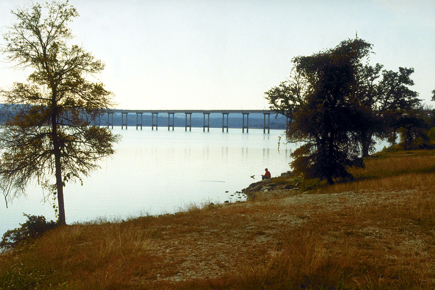
A man fishing on Stillhouse Hollow Lake
Stillhouse Hollow Lake (Reservoir) and Stillhouse Hollow Dam (formerly Lampasas Dam) are on the Lampasas River in the Brazos River Basin five miles southwest of Belton in southwestern Bell County (at 31°01' N, 97°32' W). The project is owned by the United States Army Corps of Engineers, Fort Worth District. The Brazos River Authority purchased the conservation storage space. Construction on the dam was begun in 1962 and completed in 1968. The reservoir has a capacity of 235,700 acre-feet and a surface area of 6,430 acres at the conservation storage space elevation. The capacity at the top of the flood control storage space at the spillway crest elevation of 666 feet above mean sea level is 630,400 acre-feet, and the surface area is 11,830 acres. The drainage area above the dam is 1,318 square miles.
| © TSHA

Adapted from the official Handbook of Texas, a state encyclopedia developed by Texas State Historical Association (TSHA). It is an authoritative source of trusted historical records.

- ✅ Adoption Status:
Belongs to
Stillhouse Hollow Lake is part of or belongs to the following places:
Lake Measurements
- Surface Area (in acres): 6,484
- Storage Capacity (in acre-feet): 227,825
Lake Maintained or Owned by
USAE-Brazos River Authority
Date of Origin
1968 (56 years ago)Currently Exists
Yes
Place type
Stillhouse Hollow Lake is classified as a Lake
Purposes
- Flood Control
- Municipal water supply
- Irrigation
- Industry
Associated Names
- (Lampasas Dam)


