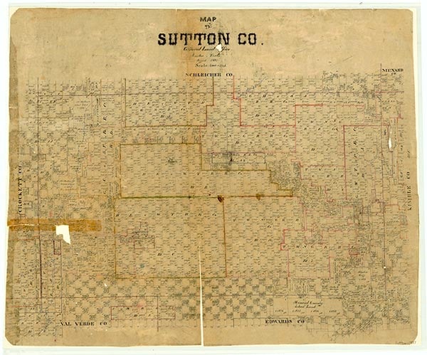
Sutton County

Sutton County, Texas

Sutton County, Texas
Sutton County is in west central Texas. Its geographic center is at 30°31' north latitude and 100°38' west longitude, 135 miles northwest of San Antonio and seventy miles south of San Angelo. Sutton County covers 1,455 square miles on the western edge of the Edwards Plateau; elevations range from 1,900 to 2,300 feet. Soils are generally shallow and stony, though deep loams are found along watercourses and irregular outcrops of limestone. The most important of the county's natural resources are moderate-sized oil and gas reserves, which came into significant production in the late 1960s and 1970s. Though range grasses constitute the most common form of vegetation, the area is distinguished from a true grassland by the existence of isolated stands of shin oak, juniper, and mesquite. The region was originally home to a wide variety of game animals and predators, most significantly deer, quail, dove, wild turkey, plover, coyotes, timber wolves, and bobcats. Periodically herds of antelope and buffalo wandered onto the Edwards Plateau, though they were not native to the region. The single most significant factor in the development of Sutton County has been the scarcity of water. Precipitation averages just twenty inches annually, and severe droughts occur regularly. Meager rainfall is further depleted by rapid evaporation due to the plateau's constant, dry winds. Consequently, the county is completely dependent for its water supply upon deep wells that tap the Edwards Trinity Aquifer. Sutton County's climate is that of a subtropical steppe, characterized by wide daily temperature fluctuations. The January average low is 32° F, and the July average high is 96°. The growing season is 235 days long. Generally, the county receives about two inches of snow each year.
Human beings have inhabited the southern Great Plains and Edwards Plateau for at least 10,000 years. Archeological digs indicate that Paleo-Indians ranged across the area from about 9500 B.C. until around 5000 B.C., at which time their culture was supplanted by the earliest stage of the Archaic culture. One significant archeological discovery is the Next Week Site, just south of Interstate Highway 10 in the eastern part of the county. The site, discovered and excavated in early 1975, is a burned-rock midden containing evidence of mortars and pestles, as well as other tools connected with the processing of plant foods. Europeans first contacted Indians of the southern plains in the sixteenth century. At that time the groups who roamed the Edwards Plateau were known collectively as the Tonkawas. In the seventeenth century, the Lipan Apaches moved into the region and quickly forced the Tonkawas to restrict their hunting and gathering activities to Central Texas. The period of Lipan supremacy was brief, however. By the mid-nineteenth century competition for resources again heated up as the Comanches migrated southward onto the Texas plains. They subdued the Lipan Apaches and within a generation had all but sealed off the bison-rich Llano Estacado. The Lipans, forced to restrict their activities to the Edwards Plateau, which was meager in plant resources and nearly devoid of bison, attempted to supplement their diet by raiding local herds of domesticated cattle. The Texas government, in accordance with its general Indian policy, responded by trying to drive the Lipans from the state. To this end, the state built a series of forts across the Edwards Plateau, including Fort Terrett in the eastern part of what was to become Sutton County. This policy, combined with declining animal herds, disease, and Comanche aggression, drove the Lipans from Texas by the end of the Civil War. By the time White ranchers discovered the potential of the Edwards Plateau as a grazing area, it was virtually uninhabited.
Brian C. Hosmer | © TSHA
Adapted from the official Handbook of Texas, a state encyclopedia developed by Texas State Historical Association (TSHA). It is an authoritative source of trusted historical records.
- ✅ Adoption Status:
Currently Exists
Yes
Place type
Sutton County is classified as a County
Altitude Range
1840 ft – 2487 ft
Size
Land area does not include water surface area, whereas total area does
- Land Area: 1,453.9 mi²
- Total Area: 1,454.4 mi²
Temperature
January mean minimum:
29.2°F
July mean maximum:
94.4°F
Rainfall, 2019
23.0 inches
Population Count, 2019
3,776
Civilian Labor Count, 2019
1,284
Unemployment, 2019
10.8%
Property Values, 2019
$1,596,005,108 USD
Per-Capita Income, 2019
$61,478 USD
Retail Sales, 2019
$78,991,472 USD
Wages, 2019
$25,961,463 USD
County Map of Texas
Sutton County
- Sutton County
Places of Sutton County
| Place | Type | Population (Year/Source) | Currently Exists |
|---|---|---|---|
| Town | – | – | |
| Town | – | – | |
| Town | 2,462 (2021) | Yes | |
| Town | – | – | |
| Town | – | – |
Proud to call Texas home?
Put your name on the town, county, or lake of your choice.
Search Places »