Watson
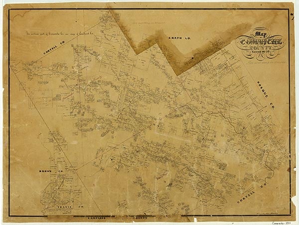
Watson was six miles west of Comanche in southwestern Comanche County. The community developed on the Fort Worth and Rio Grande Railway. In 1930 the town had a population of sixty-seven. After the 1930s the community declined quickly into a ghost town.
Continue Reading
| © TSHA
Adapted from the official Handbook of Texas, a state encyclopedia developed by Texas State Historical Association (TSHA). It is an authoritative source of trusted historical records.
- ✅ Adoption Status:
Belongs to
Watson is part of or belongs to the following places:
Currently Exists
No
Place type
Watson is classified as a Town
Location
Latitude: 31.87042560Longitude: -98.72754890
Has Post Office
No
Is Incorporated
No