Whiteflat
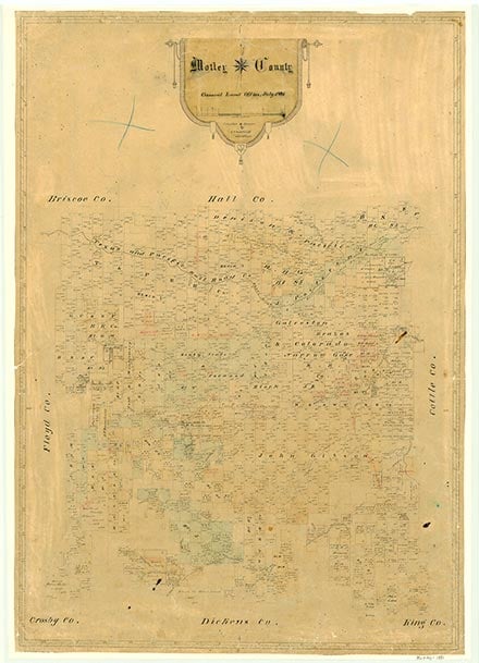
Whiteflat, on State Highway 70 ten miles northwest of Matador in west central Motley County, was originally a line camp on the Matador Ranch. It was named in 1899 either by Bill Tilson or by Mrs. H. H. Campbell, who had been impressed by the white needlegrass in the region. By 1910 the settlement between Willow Creek and Tom Ball Canyon had a school and several businesses; at one time it had several hundred residents. In the 1920s the town had a gin, a post office, churches, and a high school. Early families included the Tilsons, Bloodworths, Wilkinsons, Morrisses, and Kimbells. A school, two stores, and a population of fifty were reported in 1948. The decline can be traced to the proximity of Matador, to the location off major highways, and to the decline of a number of local farms. The population was twenty in 1980, and the post office had been closed. In 2000 the population was three.
William R. Hunt | © TSHA

Adapted from the official Handbook of Texas, a state encyclopedia developed by Texas State Historical Association (TSHA). It is an authoritative source of trusted historical records.

- ✅ Adoption Status:
Belongs to
Whiteflat is part of or belongs to the following places:
Currently Exists
Yes
Place type
Whiteflat is classified as a Town
Location
Latitude: 34.10535080Longitude: -100.88958300
Has Post Office
No
Is Incorporated
No
Population Count, 2009
4

