Zipp
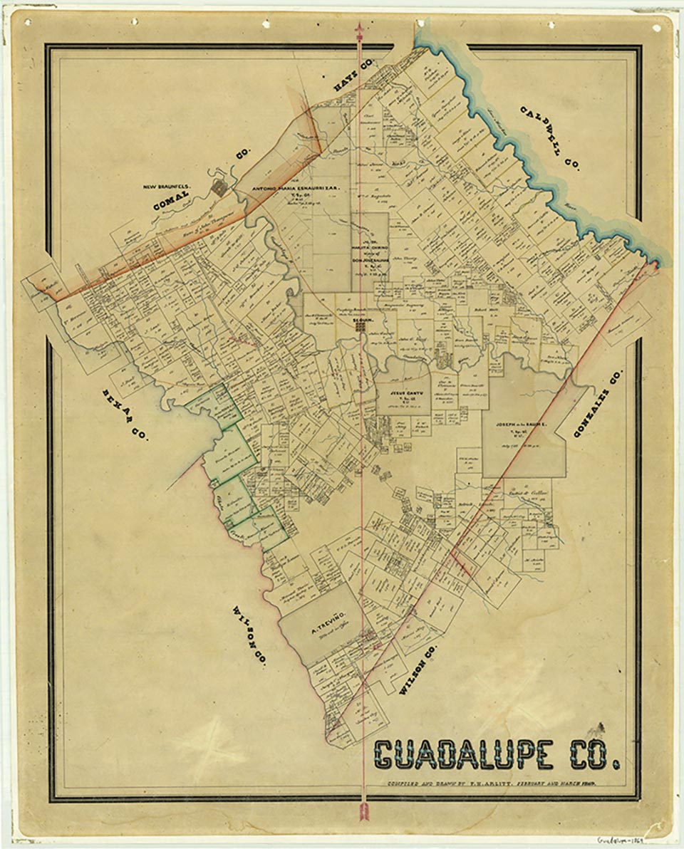
Zipp, sometimes called Zippville, is a small community located on U.S. Highway 90 and the Guadalupe River about two miles west of Seguin in central Guadalupe County. The village probably began during the early 1900s and was named for the Zipp family. The main activity in the area centered around a cluster of businesses that included a service station, restaurant, and boat shop. A small airport was located nearby. The first population figures were available in 1970 when the census listed ninety-eight residents. That number remained constant through the 1990s, though most of the businesses had closed. In 2000 the population was 110, and a catering business operated in the area.
Laurie E. Jasinski | © TSHA

Adapted from the official Handbook of Texas, a state encyclopedia developed by Texas State Historical Association (TSHA). It is an authoritative source of trusted historical records.

- ✅ Adoption Status:
Belongs to
Zipp is part of or belongs to the following places:
Currently Exists
No
Place type
Zipp is classified as a Town
Associated Names
- [Zippville]
Location
Latitude: 29.55967440Longitude: -98.01639470
Has Post Office
No
Is Incorporated
No

