Antelope Gap
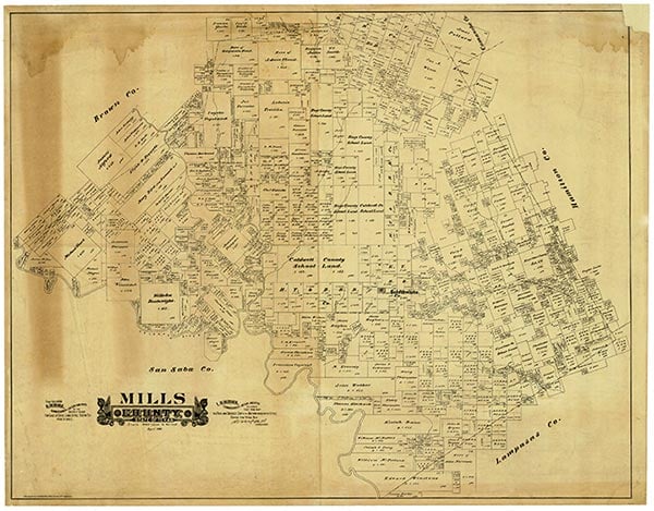
Antelope Gap was located on North Antelope Creek in southern Mills County, thirteen miles southeast of Goldthwaite on U.S. Highway 183. It was named after a nearby pass in Lampasas County through which the main branch of Antelope Creek runs. Some sources claim that antelope herds were abundant in the area until around 1900. The community was settled around 1884 in what was then Lampasas County. A flag stop and siding on the Gulf, Colorado and Santa Fe Railway was built for the surrounding ranching section and named Antelope Gap. When Mills County was established in 1887, Antelope Gap fell within the boundaries of the new county. A post office was established there in 1892. By 1896 the community, which was chiefly engaged in livestock raising, had an estimated population of seventy-five, a district school, a union church, a cotton gin, and a gristmill; and a rock mill was in operation on the Colorado River some eight miles distant. The post office was discontinued in 1914, and the railroad stop was abandoned sometime after 1920. As of 1952 Antelope Gap was described as an active community. Its population has not been listed in the Texas Almanac since 1904.
Alice J. Rhoades | © TSHA
Adapted from the official Handbook of Texas, a state encyclopedia developed by Texas State Historical Association (TSHA). It is an authoritative source of trusted historical records.
- ✅ Adoption Status:
Belongs to
Antelope Gap is part of or belongs to the following places:
Currently Exists
No
Place type
Antelope Gap is classified as a Town
Associated Names
- (Minor)
Location
Latitude: 31.30572100Longitude: -98.46448310
Has Post Office
No
Is Incorporated
No