Barber Mountain
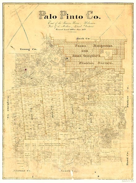
Barber Mountain is four miles southwest of Mineral Wells in east central Palo Pinto County (at 32°46' N, 98°12' W). With its elevation of 1,097 feet above sea level, it rises 226 feet above nearby Farm Road 1195. The surrounding rolling hills are surfaced by clayey and sandy loam that support scrub brush, mesquite, cacti, and grasses. Barber Mountain was named for George Barber, who settled in the area between 1850 and 1857.
| © TSHA

Adapted from the official Handbook of Texas, a state encyclopedia developed by Texas State Historical Association (TSHA). It is an authoritative source of trusted historical records.
Belongs to
Barber Mountain is part of or belongs to the following places:
Currently Exists
No
Place type
Barber Mountain is classified as a Town
Associated Names
- (Hitson's Crossing)
Has Post Office
No
Is Incorporated
No


