Caddo
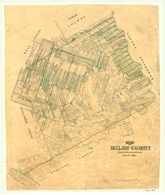
Caddo (Caddo Springs) was a farming community on Farm Road 2027 two miles northwest of Baileyville in northern Milam County. It was supposedly named for an Indian campground. Area schools were part of the Baileyville system until the early 1970s, when they were consolidated with the Rosebud Independent School District in Falls County.
Continue Reading
Vivian Elizabeth Smyrl | © TSHA
Adapted from the official Handbook of Texas, a state encyclopedia developed by Texas State Historical Association (TSHA). It is an authoritative source of trusted historical records.
- ✅ Adoption Status:
Belongs to
Caddo is part of or belongs to the following places:
Currently Exists
No
Place type
Caddo is classified as a Town
Associated Names
- [-Springs]
Location
Latitude: 31.08629450Longitude: -96.85109400
Has Post Office
No
Is Incorporated
No