Carroll
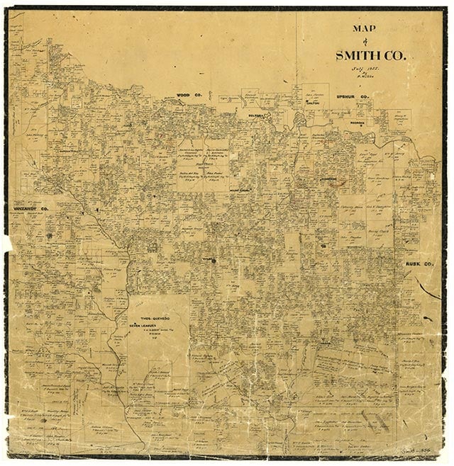
Carroll is at the intersection of State Highway 110 and Interstate Highway 20, three miles west of Mount Sylvan in northwest Smith County. Rattlesnake Creek flows to the west and Allen Branch to the east. The area was settled by 1890, when the community was granted a post office with Joseph S. Hobbs as the postmaster. In 1892 the community had a population of 125, a teacher, a barber, and a justice of the peace. The only businesses were two general stores, a gristmill, and a cotton gin. The growth of nearby Lindale, on the International-Great Northern Railroad, soon overshadowed Carroll, and in 1901 the post office moved there. In 1903 postmaster John H. Moseley transferred it back to Carroll. That year forty Black students attended a one-teacher school at Carroll, and seventy-seven White children were enrolled in a two-teacher facility. The post office moved back to Lindale in 1904. In 1910 Carroll's population was twenty-five. In the 1930s and 1940s Carroll reported ninety-eight inhabitants and never more than three businesses. Maps for 1936 identify the school, a church, three businesses, and approximately fifteen dwellings on bituminous and dirt roads. Carroll school records for that year show 154 White pupils and four teachers. The fifty-one local Black children were not in school. In 1940 a school, a church, and two businesses were reported. The population had decreased to sixty in 1950. By 1952 the Carroll schools had been consolidated into the Lindale Independent School District. The community had only one business in 1973, but by 1981 there were two churches and six businesses located along Interstate 20. Through 2000 the population remained at sixty.
Vista K. McCroskey | © TSHA
Adapted from the official Handbook of Texas, a state encyclopedia developed by Texas State Historical Association (TSHA). It is an authoritative source of trusted historical records.
- ✅ Adoption Status:
Belongs to
Carroll is part of or belongs to the following places:
Currently Exists
Yes
Place type
Carroll is classified as a Town
Associated Names
- (Grady)
Location
Latitude: 32.47736420Longitude: -95.52023690
Has Post Office
No
Is Incorporated
No
Population Count, 2009
60