Cherry Mound
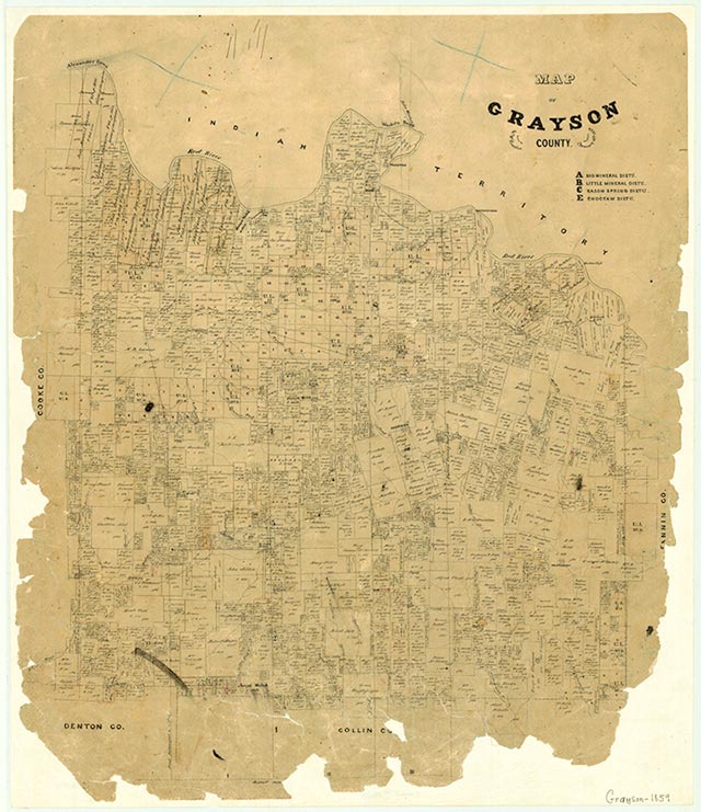
Cherry Mound is on Farm Road 1753 some ten miles northeast of Sherman in northeastern Grayson County. Settlement at the site began in the mid-1850s, when the David Cherry family arrived and settled on a rise that provided a view of the countryside. In the 1940s the community there had a school, a church, two businesses, and a number of scattered dwellings. Cherry Mound served area farmers and cattle ranchers as a school and church community. In 1988 Cherry Mound was still named on the county highway map, though no structures were shown at the site.
David Minor | © TSHA
Adapted from the official Handbook of Texas, a state encyclopedia developed by Texas State Historical Association (TSHA). It is an authoritative source of trusted historical records.
- ✅ Adoption Status:
Belongs to
Cherry Mound is part of or belongs to the following places:
Currently Exists
No
Place type
Cherry Mound is classified as a Town
Associated Names
- (Garlock)
Location
Latitude: 33.70510410Longitude: -96.42887630
Has Post Office
No
Is Incorporated
No