Chesterville
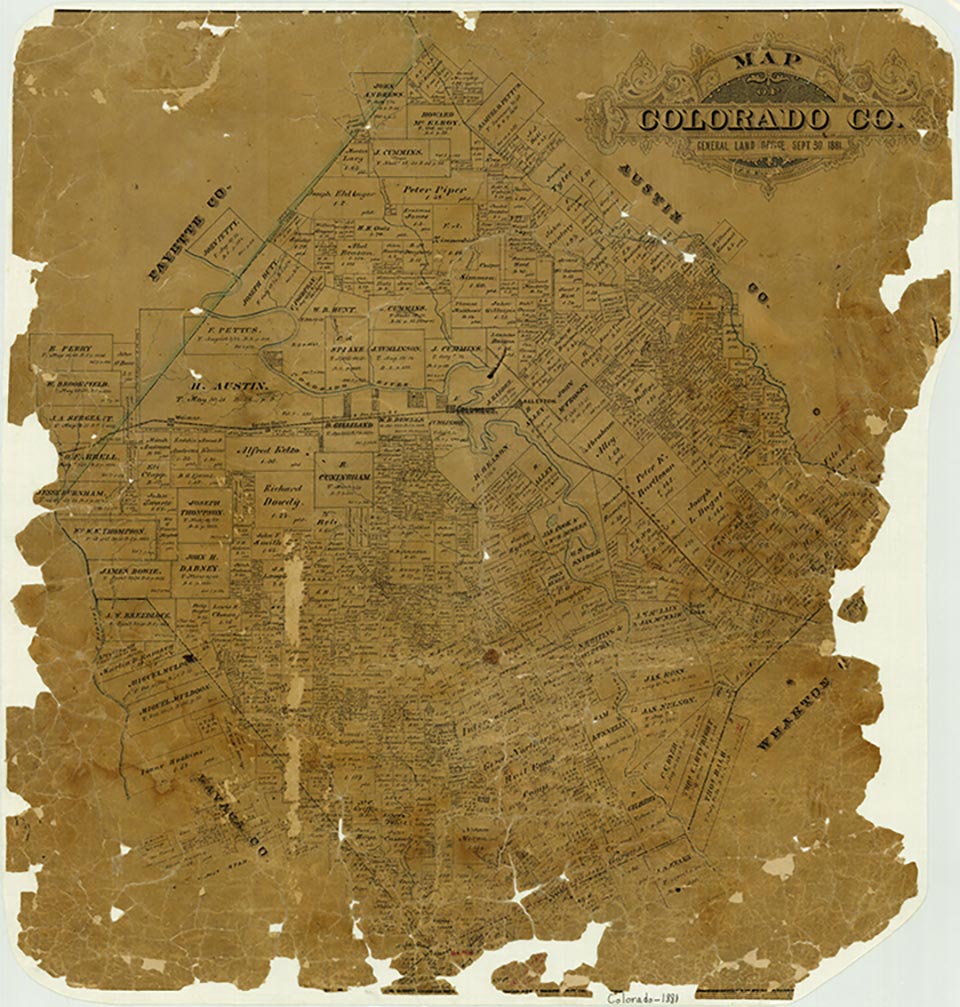
Chesterville is near the point where Farm Road 1093 crosses the Colorado-Wharton county line in southeastern Colorado County. The community is the product of a land-development program begun in 1894 when John Linderholm, a land promoter from Chicago, purchased 60,000 acres in the area in the name of the Southern Texas Colonization Company. The name of the community is taken from the surveyor who plotted the area, William P. Chester. Colonization efforts were successful. In cooperation with the railroad, settlers came to the area from many states in the Midwest, and a post office was established in 1895. At the height of its development Chesterville had a school, several churches, and some twenty businesses serving a population of between 150 and 200. Land in the area was, however, better suited to large rice-farming and stock-raising enterprises than it was to small farms; consequently the population of Chesterville fell to seventy-five by 1914 and to twenty-five by 1933. The community's post office closed in 1950, and after 1966, when the population was still reported as twenty-five, no population statistics were recorded for a number of years. By the mid-1980s, only one business remained there to serve the needs of the large rice farms in the area. By 2000, however, the population was fifty.
Jeff Carroll | © TSHA
Adapted from the official Handbook of Texas, a state encyclopedia developed by Texas State Historical Association (TSHA). It is an authoritative source of trusted historical records.
- ✅ Adoption Status:
Belongs to
Chesterville is part of or belongs to the following places:
Currently Exists
Yes
Place type
Chesterville is classified as a Town
Location
Latitude: 29.60996090Longitude: -96.20746250
Has Post Office
No
Is Incorporated
No
Population Count, 2014
30