Chinati
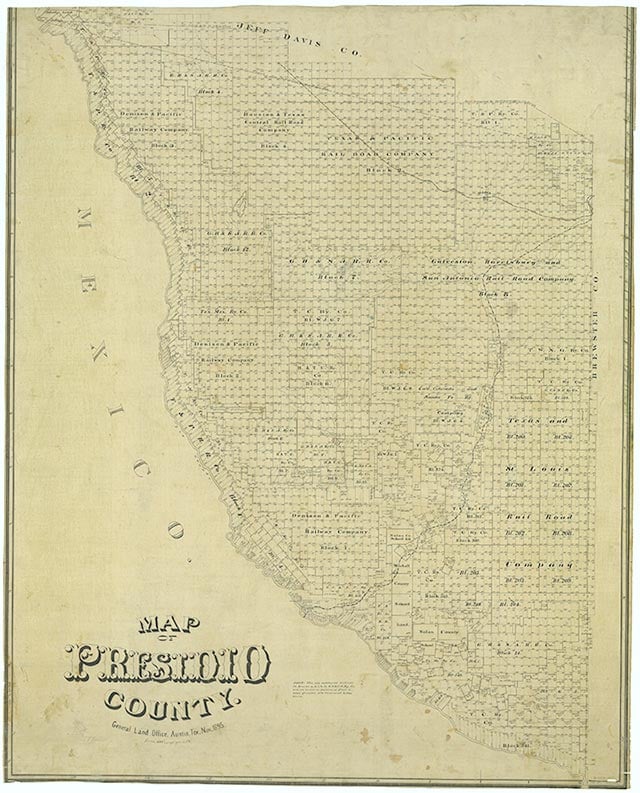
Chinati is on Farm Road 170 and the Rio Grande in the foothills of the Chinati Mountains, six miles northwest of Adobes in southwestern Presidio County. The settlement began as a Mexican mining village. After irrigation was introduced along the Rio Grande, Chinati farmers began growing cotton. It received a post office in 1922. By 1930 the area farmed 600 acres of irrigated land. From 1931 until 1947 a store operated in Chinati; in January 1933 it was raided by Mexican bandits. By 1939 the post office had closed. The population of Chinati remained at ten until 1943, when a population of 250 was reported. The growth was a result of World War II and the activity around the Presidio County military bases. After the war the military bases closed, and Chinati declined. At the end of the 1980s the community remained unincorporated and received mail through Presidio.
Julia Cauble Smith | © TSHA
Adapted from the official Handbook of Texas, a state encyclopedia developed by Texas State Historical Association (TSHA). It is an authoritative source of trusted historical records.
- ✅ Adoption Status:
Belongs to
Chinati is part of or belongs to the following places:
Currently Exists
Yes
Place type
Chinati is classified as a Town
Associated Names
- (Adobes)
Location
Latitude: 29.82405930Longitude: -104.60575910
Has Post Office
No
Is Incorporated
No
Population Count, 2009
8