Farrar

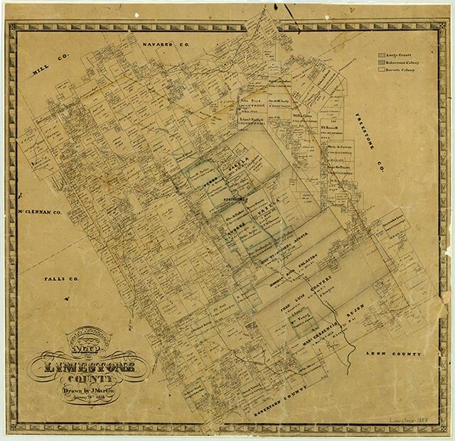
Farrar is on State Highway 39 eighteen miles south of Mexia in southeastern Limestone County. The area was first settled in the 1850s, but no community developed there until the 1880s. The settlement was named in honor of Lochlin Johnson Farrar, who moved to Limestone County in 1859. In 1883 the community received a post office with John Bishop, who owned the first mercantile business, as postmaster. By 1884 Farrar had a population of twenty-five and a steam gristmill and cotton gin. By 1914 the town had ten businesses and a population of seventy-five. In 1940 the population was estimated to be 150. Houston Lighting and Power Company opened a lignite plant near Farrar in 1986. In 1990 the town had a population of fifty-one and two businesses. The population remained the same in 2000.
Stephanie A. Panus | © TSHA

Adapted from the official Handbook of Texas, a state encyclopedia developed by Texas State Historical Association (TSHA). It is an authoritative source of trusted historical records.

- ✅ Adoption Status:
Belongs to
Farrar is part of or belongs to the following places:
Currently Exists
Yes
Place type
Farrar is classified as a Town
Associated Names
- (Littleglade)
- (Tiger Prairie)
Location
Latitude: 31.45684120Longitude: -96.28080400
Has Post Office
No
Is Incorporated
No
Population Count, 2009
51
