Flower Grove
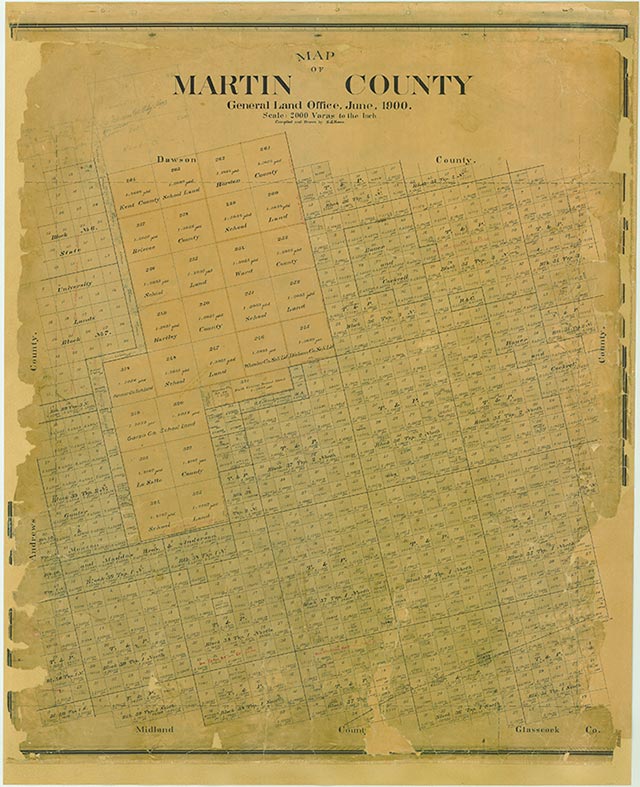
Flower Grove, on Farm Road 2002 in the northeastern corner of Martin County, was named for an early settler, Hardy Flowers. A rural school district was established there in 1920 and an independent school district in 1928. During the 1930s and 1940s five neighboring schools were consolidated with Flower Grove. The town also had the Flower Grove Missionary Baptist Church, the Bethel Assembly of God Church, and the Farmer's Co-op Gin. The community still existed in the early 1980s.
Noel Wiggins | © TSHA
Adapted from the official Handbook of Texas, a state encyclopedia developed by Texas State Historical Association (TSHA). It is an authoritative source of trusted historical records.
- ✅ Adoption Status:
Belongs to
Flower Grove is part of or belongs to the following places:
Currently Exists
No
Place type
Flower Grove is classified as a Town
Location
Latitude: 32.49872100Longitude: -101.81486260
Has Post Office
No
Is Incorporated
No