Forest Glade
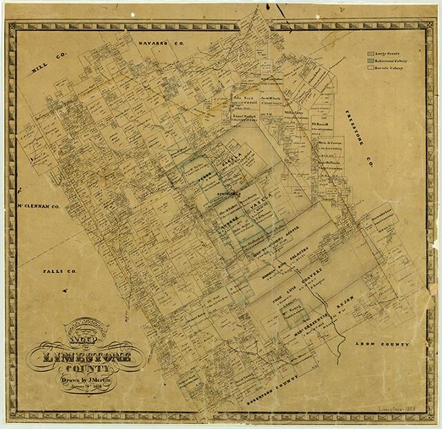
Forest Glade is on U.S. Highway 14 and Farm Road 1633, three miles west of the Southern Pacific tracks, eight miles north of Groesbeck, and two miles south of Mexia in northern Limestone County. The site is on a mail route from Mexia and was temporarily settled in the late 1840s. W. A. Brown built a house there in 1861 and put the first local farm under cultivation. A school operated in the community as early as 1872, and in 1896 one teacher taught forty-five White students. In the late 1920s a store was established, and in 1933 the community had one business and a population of ten. The 1936 county highway map indicated a number of businesses and residences on State Highway 14, the only highway to Forest Glade at the time. The community's population had jumped to 450 by 1966, when the town had a cemetery and a drive-in movie theater. Forest Glade developed with the growth of its neighbor, Mexia. Oil deposits in the area stimulated regional growth. Also, the Southern Pacific line that ran three miles east of Forest Glade aided the development of the area. A Methodist church met for a time at Forest Glade. The town grew as people working in nearby Mexia and Groesbeck established homes in Forest Glade. In 1990 and again in 2000 the community reported a population of 340.
Holly Marshall | © TSHA
Adapted from the official Handbook of Texas, a state encyclopedia developed by Texas State Historical Association (TSHA). It is an authoritative source of trusted historical records.
- ✅ Adoption Status:
Belongs to
Forest Glade is part of or belongs to the following places:
Currently Exists
Yes
Place type
Forest Glade is classified as a Town
Location
Latitude: 31.63072400Longitude: -96.52192600
Has Post Office
No
Is Incorporated
No
Population Count, 2009
340