Frankell

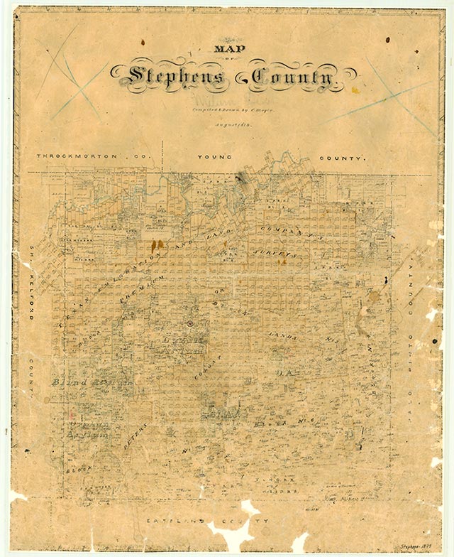
Frankell, on County Road 140 about 1½ miles east of the intersection of Farm Road 207 and some twelve miles southeast of Breckenridge in southeastern Stephens County, originated with the Ranger oil boom of 1916 (see RANGER, DESDEMONA, AND BRECKENRIDGE OILFIELDS). It became a station on the Wichita Falls and Southern Railway in 1920, when it was named for Frank Kell, the president of that line. Between 1920 and 1935 it had a population of 250, chiefly oilfield workers. In 1936 the town had two schools and a church. By 1940 Frankell had a post office, a store, and a population of fifty. The 1984 county highway map identified Frankell but did not show any buildings at its site.
Claudia Hazlewood | © TSHA

Adapted from the official Handbook of Texas, a state encyclopedia developed by Texas State Historical Association (TSHA). It is an authoritative source of trusted historical records.

- ✅ Adoption Status:
Belongs to
Frankell is part of or belongs to the following places:
Currently Exists
Yes
Place type
Frankell is classified as a Town
Location
Latitude: 32.62429300Longitude: -98.71839470
Has Post Office
No
Is Incorporated
No
Population Count, 2009
8
