Freer

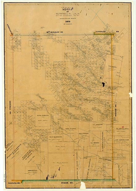
Freer is at the intersection of U.S. Highway 59 and State highways 16, 44, and 339, twenty-four miles northwest of San Diego and twenty-three miles northwest of Benavides in northwestern Duval County. It is the second largest town in the county. The area was originally called Las Hermanitas ("the Sisters"), for two hills south of the present townsite, and then became known as Government Wells, for a water well dug by United States Cavalry troops in 1876 on the property of A. J. Wiederkehr, north of the site of present Freer. When Norman G. Collins, who moved to Duval County in 1867 and later became the county's leading sheep rancher, bought 35,000 acres, the future townsite became part of his Rancho Americano. The German immigrant William Hubberd became one of the first settlers at Government Wells when he arrived to manage Collins's ranch; Hubberd bought his own land in 1876. Among the first settlers in the area may have been the brothers Paul and Joe White, who around 1900 settled in the valley of Rosita Creek, near the site of future Freer, to dig water wells for the local ranchers. Others followed them, including Harry and Arthur Lundell in 1905 and August H. Kramer in 1908. Jot Gunter also owned several thousand acres in the Government Wells area; in April 1904 the San Diego rancher Doss Seago had made a homestead application on the section of land that included the future townsite; in July 1905 he sold it to Encarnacion Rodriguez, who sold it in 1907 to Roxana Gunter. Five years later she sold twenty sections of land, including the site of future Freer, to a Houston real-estate promoter named C. W. Hahl.
Hahl advertised his land for sale in newspapers throughout the southwest and set up a sales office in San Diego with J. M. Momeny, who was later the superintendent of schools in Benavides, as manager. Hahl sold the land in eighty-acre sections for a dollar down per acre and fifteen dollars per acre with fourteen years to pay; to entice potential buyers, he reportedly hung apples on the mesquite trees. The first family on Hahl's Rosita Valley Rancho was the John W. Riley family, who arrived from Binger, Oklahoma, in April 1916. The Rileys pitched a tent three-fourths of a mile west of the current townsite. Several other settlers arrived the next year, including J. A. Powers, who built the first house on the site in 1917 but who left the Rosita valley three years later; William Patton Norton; and Daniel J. Freer. In 1917 Riley, Powers, and John Short built a one-room schoolhouse; nine pupils attended that first school in the Freer area. Virgil Guffey, another settler, was the teacher. The Daniel J. Freer family had been neighbors of the Rileys in Binger and came to visit them in Duval County. Daniel Freer liked the area so much that he took out an option on 160 acres adjoining the Riley property, but did not pay until his son Charles had looked the place over thoroughly. J. T. Johnson and his brother-in-law George Pricer arrived in 1919 and bought adjoining properties on which they built two-room houses, but they did not bring their families. In 1925 Johnson bought out Pricer and brought his family to the Rosita valley. That same year he and Charles Freer sent in an application for a post office. They submitted three names; Riley, Wendt, and Freer. Since the first two were already in use in Texas, Freer was selected. The first postmaster was Minnie Freer, wife of Charles Freer.
Martin Donell Kohout | © TSHA

Adapted from the official Handbook of Texas, a state encyclopedia developed by Texas State Historical Association (TSHA). It is an authoritative source of trusted historical records.

- ✅ Adoption Status:
Belongs to
Freer is part of or belongs to the following places:
Currently Exists
Yes
Place type
Freer is classified as a Town
Associated Names
- (Government Wells)
- (Las Hermanitas)
- (Rosita Valley)
Location
Latitude: 27.88231160Longitude: -98.61804700
Has Post Office
Yes
Is Incorporated
Yes
Population Count, 2021 View more »
2,472
