Friendship
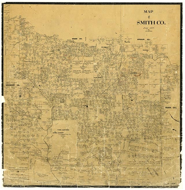
Friendship is just north of Lindale and west of U.S. Highway 69 at the junction of two light-duty roads in northwestern Smith County. Duck Creek flows to the south of the community and Rock Creek to its north. Though unidentified on the 1936 county highway map, the settlement at that time had a school and several dwellings scattered along country roads. By 1952 Friendship's school and other local rural schools had been consolidated into the Lindale Independent School District. In 1960 Friendship had a church, a cemetery, a few farms, the Lighthouse Cemetery, the Carmel Church and Cemetery, and the Bragg Morris High School. In the early 1970s maps of the area showed little change in the community. It still existed in 1990. In 2000 the population was 200.
Vista K. McCroskey | © TSHA
Adapted from the official Handbook of Texas, a state encyclopedia developed by Texas State Historical Association (TSHA). It is an authoritative source of trusted historical records.
- ✅ Adoption Status:
Belongs to
Friendship is part of or belongs to the following places:
Currently Exists
Yes
Place type
Friendship is classified as a Town
Location
Latitude: 32.56430490Longitude: -95.48190180
Has Post Office
No
Is Incorporated
No
Population Count, 2009
200