Harmony

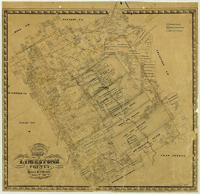
Harmony is near the intersection of State Highway 7 and Farm Road 2749, seven miles east of Kosse in southern Limestone County. In the 1890s it was a thriving school community that employed two teachers to instruct 122 students. A school and several scattered residences marked the community on county highway maps of the 1940s. The Harmony school was abandoned by the mid-1950s, and students attended school in the Groesbeck district. A business and a cemetery appeared on maps of the area in the late 1980s.
Vivian Elizabeth Smyrl | © TSHA

Adapted from the official Handbook of Texas, a state encyclopedia developed by Texas State Historical Association (TSHA). It is an authoritative source of trusted historical records.

- ✅ Adoption Status:
Belongs to
Harmony is part of or belongs to the following places:
Currently Exists
No
Place type
Harmony is classified as a Town
Location
Latitude: 31.29216300Longitude: -96.51503700
Has Post Office
No
Is Incorporated
No
