Holt
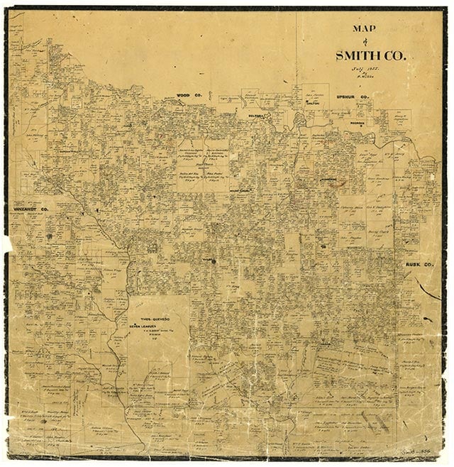
Holt is on the western edge of the Chapel Hill oilfield just south of State Highway 31 at the intersection of Farm Road 757 and a light-duty road, eight miles east of Tyler in eastern Smith County. The townsite, apparently named for a prominent Smith County family, had been settled as early as 1903, when county records show two schools at Holt: a Black school with two teachers and twenty-six students, and a White school with one teacher and sixteen students. The 1936 county highway map does not name the settlement, but it shows a church, a sawmill, and a few scattered farms in the vicinity. That year only the black school, with eleven grades and eight teachers, remained open. By 1952 the Holt school had been consolidated into the Chapel Hill Independent School District along with other local rural schools. In 1966 the community had the Chapel Hill Church, the Holt Cemetery, and a scant assortment of dwellings. A 1973 map shows thirteen farms in Holt, and by 1981 the community also had several businesses.
Vista K. McCroskey | © TSHA
Adapted from the official Handbook of Texas, a state encyclopedia developed by Texas State Historical Association (TSHA). It is an authoritative source of trusted historical records.
- ✅ Adoption Status:
Belongs to
Holt is part of or belongs to the following places:
Currently Exists
No
Place type
Holt is classified as a Town
Location
Latitude: 32.35820560Longitude: -95.11244480
Has Post Office
No
Is Incorporated
No