Irving
.jpg "Irving, Texas")
Irving, Texas

.jpg)
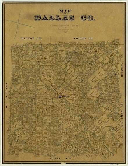
Irving is on State Highway 183 and the Chicago, Rock Island and Pacific Railroad, twelve miles west of Dallas in west central Dallas County. It began as a settlement called Gorbit (Gorbett, Torbit) and had a post office under that name from 1889 to 1894. In 1894 the name of the settlement and post office was changed to Kit, and the location was shifted to anticipate the route of a railroad. The line did not follow the original survey, and in 1902 Julius Otto Schulze and Otis Brown promoted a third townsite, called Irving, possibly after Washington Irving, Mrs. Brown's favorite author. The post office was moved to Irving in 1904.
In 1894 Irving, then known as Kit, had Christian and Baptist churches, two gins, a blacksmith shop, and a general store. In 1909 the Kit and Lively schools, with 125 students, became the initial units of the Irving district schools. By 1912 the town had a population of 500, new Catholic and Methodist churches, a bank, a newspaper, and twenty businesses. Irving was incorporated in 1914. In 1925 the population was 357, but by the 1930s a steady increase began. The number of residents more than doubled between 1925 and 1945; businesses exceeded 200. In the 1940s Irving became the center of a consolidated school district.
June Rayfield Welch | © TSHA
Adapted from the official Handbook of Texas, a state encyclopedia developed by Texas State Historical Association (TSHA). It is an authoritative source of trusted historical records.
- ✅ Adoption Status:
Belongs to
Irving is part of or belongs to the following places:
Currently Exists
Yes
Place type
Irving is classified as a Town
Associated Names
- (Gorbett)
- (Kit)
- (Torbit)
Location
Latitude: 32.85814240Longitude: -96.97032900
Has Post Office
Yes
Is Incorporated
Yes
Population Count, 2021 View more »
254,198
Places of Irving
| Place | Type | Population (Year/Source) | Currently Exists |
|---|---|---|---|
| College or University | – | Yes | |
| College or University | – | Yes |
Photos Nearby:

El Centro College in Dallas, Texas
Photo by Michael Barera, CC BY-SA 4.0, via Wikimedia Commons

SB Hall, seen with Braniff Tower in the background
Photo by Wissembourg, CC BY-SA 4.0, via Wikimedia Commons
Proud to call Texas home?
Put your name on the town, county, or lake of your choice.
Search Places »