La Paloma
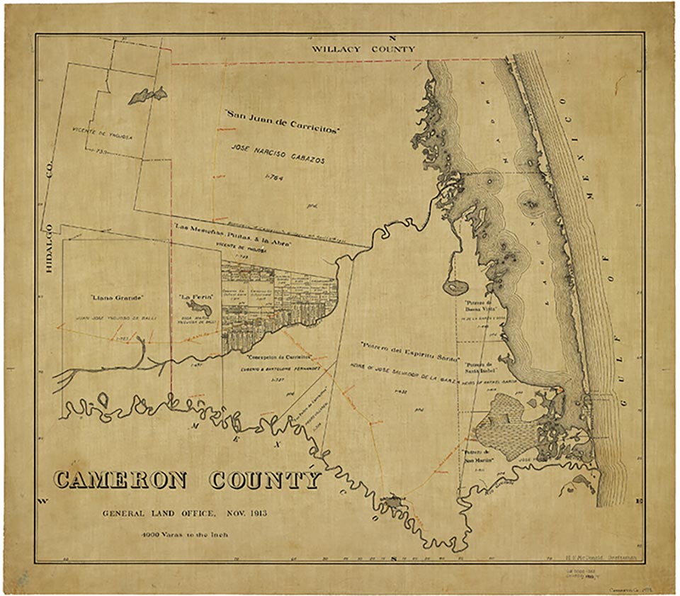
La Paloma is at the junction of U.S. Highway 281 and Farm Road 732, five miles southwest of San Benito in southwestern Cameron County. Manuel Saldona, an early landowner, operated a local general store and named the community for the doves found in the nearby mottes of oak, willow, and huisache. La Paloma post office operated from 1912 to 1957. The community had a population of twenty-five in 1915 and twenty in 1925. In 1912 the San Benito and Rio Grande Valley Railway established a station in La Paloma, and extended its line to Santander (now San Pedro) in 1928. By 1940 La Paloma had the post office, a school, two churches, five businesses, and a population of 150. In 1971 La Paloma, with a population of 150, had five businesses; by 1973 its population had decreased to 110. In the 1970s part of La Paloma was a colonia, which had from 100 to 134 dwellings between 1970 and 1986 and an estimated population of 726 in 1976 and 450 in 1986. The colonia received its water services from the Military Highway Water Supply Corporation. In 2000 La Paloma had 354 inhabitants.
Alicia A. Garza | © TSHA

Adapted from the official Handbook of Texas, a state encyclopedia developed by Texas State Historical Association (TSHA). It is an authoritative source of trusted historical records.
Belongs to
La Paloma is part of or belongs to the following places:
Currently Exists
Yes
Place type
La Paloma is classified as a Town
Location
Latitude: 26.04591110Longitude: -97.66749100
Has Post Office
No
Is Incorporated
No
Population Count, 2021 View more »
3,138


