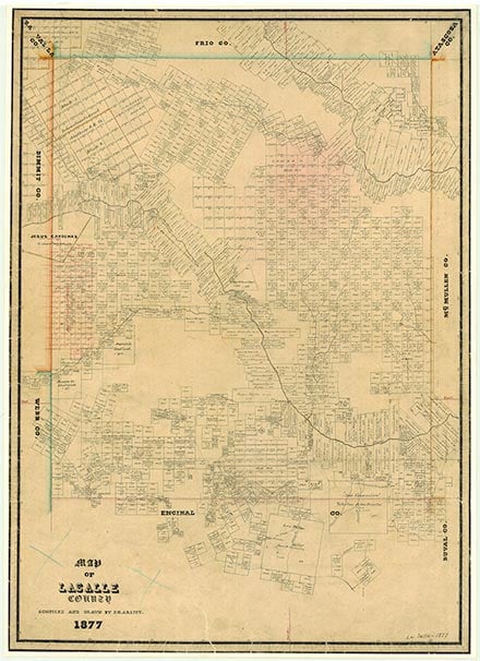
La Salle County

_IMG_4472.JPG)
LaSalle County, Texas

La Salle County, Texas
La Salle County, in South Texas, is bordered by Dimmit, Frio, Webb, and McMullen counties. Cotulla, the county's largest town and the county seat, is located in the northwestern part of the county at the intersection of Interstate highway 35 and State Highway 97. The center point of the county is at 28°20' north latitude and 99°05' west longitude. La Salle County was named for René Robert Cavelier, Sieur de La Salle. It comprises 1,517 square miles of usually flat to rolling terrain vegetated with mesquite, small live oak, and post oak trees, scrub brush, cacti, and grasses. Elevation ranges from approximately 400 to 600 feet. Soils in the northwestern half of the county are deep to moderately deep, often light-colored loams that overlie clayey subsoils and, in places, limestone only forty inches beneath the surface. The cracking, clayey soils in the southeastern half of La Salle County vary from light to black in color. Most of the county is drained by the Nueces River, which flows across the county from the west toward the southeast; the northeastern quarter of La Salle County is drained by the Frio River. In 1982 more than 90 percent of the county was devoted to ranching and farming. Only 3 percent of the land was cultivated; livestock and livestock products accounted for 87 percent of the agricultural income. Temperatures in La Salle County range from an average high of 99° F in July to an average low of 42° in January; the average annual temperature is 71°. Rainfall averages twenty-two inches a year, and the growing season lasts for 288 days. Mineral resources include sand and gravel, oil, gas, and lignite coal. Oil production in 1982 totaled 505,645 barrels; gas production totaled 4,668,423,000 cubic feet of gas-well gas and 350,459,000 cubic feet of casinghead gas.
Before it was settled in the nineteenth century the future La Salle County was an area of grasslands punctuated by clumps of mesquite, oak, and ash trees. The abundant wildlife included deer, turkeys, wild horses, and mountain lions. Springs rising from a reservoir of underground water fed streams, lakes, and waterholes that harbored beavers, alligators, big fish, crawfish, and mussels. Artifacts dating from the Paleo-Indian period (9200 to 6000 B.C.) demonstrate that human beings have lived in the area for about 11,000 years. The Indian population seems to have increased during the Archaic period (6000 B.C. to A.D. 1000), when many groups of hunter-gatherers spent part or all of their time in the area. During this period the inhabitants subsisted mostly on game, wild fruits, seeds, and roots. They carved tools from wood and stone and wove baskets and rabbit-skin clothing. The hunting and gathering way of life persisted into the Late Prehistoric period (A.D. 1000 to the arrival of the Spanish), though during this time Indians in the area learned to make pottery and hunted with bows and arrows. During the eighteenth century the Coahuiltecan Indians were squeezed out by Apaches and other groups who were migrating into the area, and by the Spanish, who were moving up from the south. Some of the Coahuiltecans from the area that is now La Salle County entered San Juan Bautista del Rio Grande del Norte in Coahuila.
John Leffler | © TSHA
Adapted from the official Handbook of Texas, a state encyclopedia developed by Texas State Historical Association (TSHA). It is an authoritative source of trusted historical records.
- ✅ Adoption Status:
Currently Exists
Yes
Place type
La Salle County is classified as a County
Altitude Range
255 ft – 650 ft
Size
Land area does not include water surface area, whereas total area does
- Land Area: 1,486.7 mi²
- Total Area: 1,494.2 mi²
Temperature
January mean minimum:
38.9°F
July mean maximum:
96.9°F
Rainfall, 2019
24.7 inches
Population Count, 2019
7,520
Civilian Labor Count, 2019
4,135
Unemployment, 2019
7.4%
Property Values, 2019
$6,662,550,603 USD
Per-Capita Income, 2019
$35,809 USD
Retail Sales, 2019
$174,312,010 USD
Wages, 2019
$56,205,197 USD
County Map of Texas
La Salle County
- La Salle County
Places of La Salle County
| Place | Type | Population (Year/Source) | Currently Exists |
|---|---|---|---|
| Town | – | – | |
| Town | – | – | |
| Town | 35 (2014) | Yes | |
| Town | – | – | |
| Town | – | – | |
| Town | – | – | |
| Town | – | – | |
| Town | – | – | |
| Town | – | – | |
| Town | – | – | |
| Town | 3,725 (2021) | Yes | |
| Town | – | – | |
| Town | 539 (2021) | Yes | |
| Town | – | – | |
| Town | – | – | |
| Town | 66 (2021) | Yes | |
| Town | 80 (2014) | Yes | |
| Town | – | – | |
| Town | – | – | |
| Town | – | – | |
| Town | – | – | |
| Town | – | – | |
| Town | – | – | |
| Town | 15 (2014) | Yes | |
| Town | – | – | |
| Town | – | – | |
| Town | 60 (2009) | Yes | |
| Town | – | – | |
| Town | – | – | |
| Town | – | – | |
| Town | – | – | |
| Town | – | – | |
| Town | – | – | |
| Town | – | – | |
| Town | – | – | |
| Town | – | – | |
| Town | – | – | |
| Town | 6 (2014) | Yes |
Proud to call Texas home?
Put your name on the town, county, or lake of your choice.
Search Places »