Lake Corpus Christi

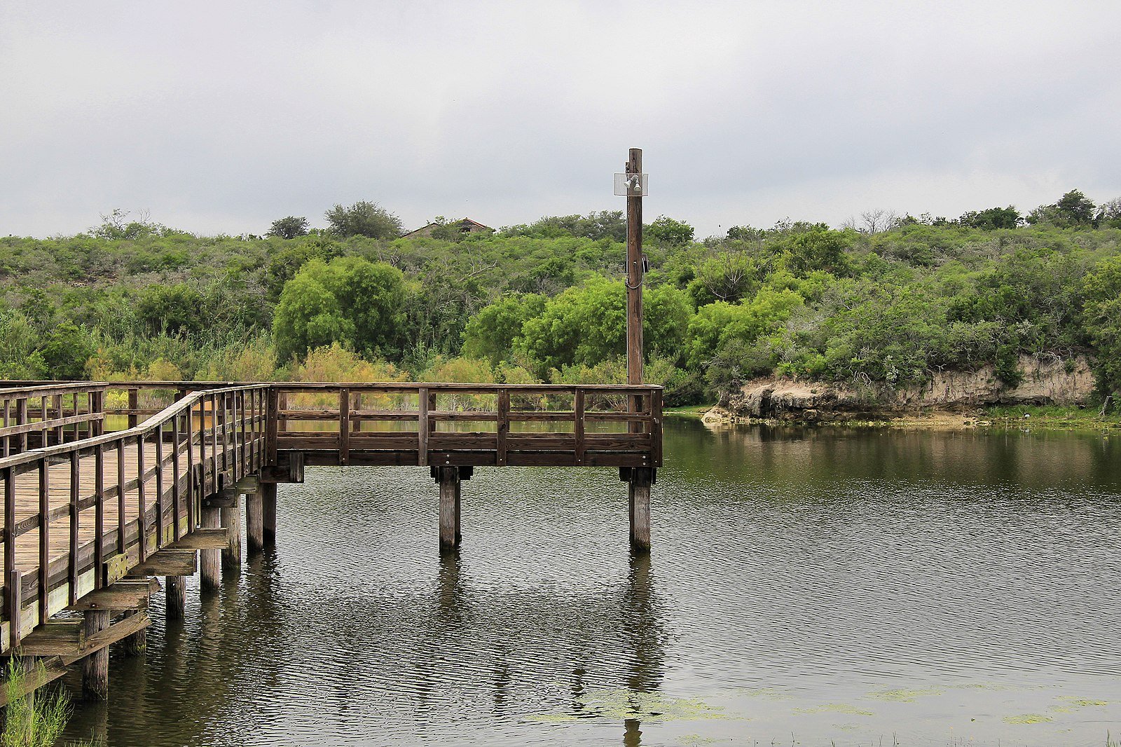
A fishing pier on Lake Corpus Christi


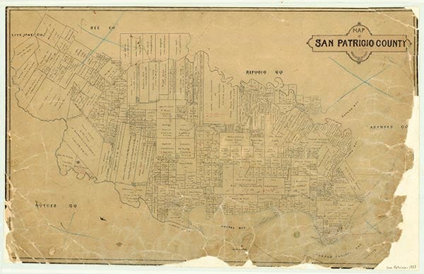
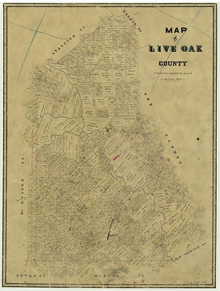
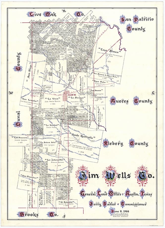
Lake Corpus Christi, also known as Lake Lovenskiold, is an artificial lake owned by the city of Corpus Christi, four miles southwest of Mathis on the Nueces River at the intersection of the Live Oak, San Patricio, and Jim Wells county lines (at 28°03' N, 97°52' W). The lake has a conservation surface area of 19,336 acres, a drainage area of 16,656 square miles, and a conservation storage capacity of 269,900 acre-feet. It serves as a source of municipal water supply. Wesley E. Seale Dam, a seventy-five-foot-high earthen dam, was engineered by Ambursen Engineering and constructed by Henry B. Zachry. The resulting lake submerged the old Mathis Dam. In 1934 the state leased 288 acres surrounding the lake from the city of Corpus Christi for a park. Around the lake, flat to rolling terrain is surfaced by deep, fine sandy loam that supports hardwood forest, brush, and grasses.
| © TSHA

Adapted from the official Handbook of Texas, a state encyclopedia developed by Texas State Historical Association (TSHA). It is an authoritative source of trusted historical records.

- ✅ Adoption Status:
Belongs to
Lake Corpus Christi is part of or belongs to the following places:
Lake Measurements
- Surface Area (in acres): 19,748
- Storage Capacity (in acre-feet): 256,339
Lake Maintained or Owned by
City of Corpus Christi
Date of Origin
1930 (94 years ago)Currently Exists
Yes
Place type
Lake Corpus Christi is classified as a Lake
Purposes
- Recreation
- Municipal water supply
Associated Names
- (Lake Mathis)
- (Lake Lovenskiold)
More about Lake Corpus Christi
Impounded by Wesley E. Seale Dam

